The Island was hit with some pretty heavy rain last night.
As a consequence, Island Roads have been out dealing with flooded roads.
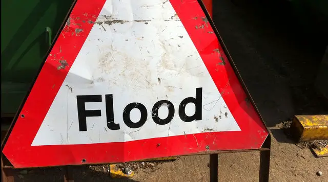
This morning they advise the locations are flooded:
Garden Way, Newport – please avoid
Main Road, Thorley – please avoid
Chessell crossroads, Brook – THIS ROAD HAS NOW BEEN CLEARED
Longwood Lane, Adgestone – please avoid
Highwood Lane, Rookely – ROAD CLOSED
Shalfleet to Forest Road – the worst affected areas are Three Gates Farm and near to Elm Lane (Westbound) – passable with care
Military Road, Brook – ROAD CLOSED
West Street / High Street, Ventnor – please avoid
Whitwell Road, Ventnor – please avoid
Blackwater Road, Newport (nr the Cricket Club) – passable with care
Beaper Shute, Ryde – passable with care
High Street, Brading – please avoid
Pallance Road, Northwood – passable with care
New Road, Porchfield – passable with care
Newport Road, Northwood – passable with care
Newport Road, Apse Heath – THIS ROAD HAS NOW CLEARED
Island Roads say, “We’re working hard to clear gullies & remove water from roads where we can.”
Emergency road closures due to recent bad weather:
Cliff Path, Lake – Closed due to safety reasons
Hyde Road, Shanklin
Landguard Road/ Collingwood Road, Shanklin – Closed due to a collapsed area of road
Oakhill Road and The Duver, Seaview – Closed due to flooding
Rew Lane, Ventnor – Closed due to a poor surface
Main Road, Havenstreet – closed due to sewer collapse
Old Blackgang Road, Blackgang – closed due to a collapsed wall
Update: Ciaran Rogers tells us on Twitter
@onthewight military road closed from freshwater end. Diversions in place.
— Ciaran Rogers (@ciaraniow) January 17, 2014
The council tweeted,
Students in the Porchfield area will not be able to access services 304 due to flooding. Service is diverting via White House Road.
— IOW Council Official (@iwight) January 17, 2014
Image: Howard Lake under CC BY 2.0