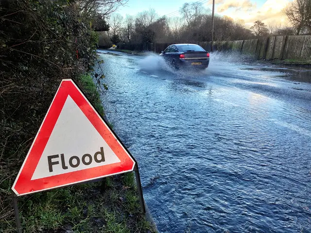
With the prospect of more rain on the way (see alert), the Environment Agency have issued a reminder of Sunday’s Flood Alert for the Eastern Yar valley.
In the Upper Yar, water levels have reduced overnight, but still remain high.
At Sandown, levels are very slowly increasing as high flow continues to move down the river.
Further rain is forecast today and the alignment of some of these showers is affecting the Eastern Yar.
River levels will therefore remain high and may even increase slightly. Out of bank flooding to land, tracks and roads is still expected.
Severe weather warning
The Met Office have also issued a severe weather warning for heavy rain from 1pm on Monday valid until midday on Tuesday.
Heavy showers on Monday and into Tuesday, are likely to line up in bands across parts of south and southeast England. Up to 10 mm of rain may fall in an hour very locally with a few spots receiving 20-30 mm through the whole period.
Please be aware of the likelihood of localised surface water flooding affecting travel on roads at times.
Advice
The Environment Agency offer the following advice.
- Be prepared to protect yourself, family, pets and property.
- Call Floodline on 0345 988 1188 for up-to-date flooding information.
- Keep an eye on local water levels and weather conditions. Visit the Environment Agency website for river level and flooding information.
- Tune into weather, news and travel bulletins on local television and radio.
- Avoid walking, cycling or driving through flood water.
Image: © Island Roads