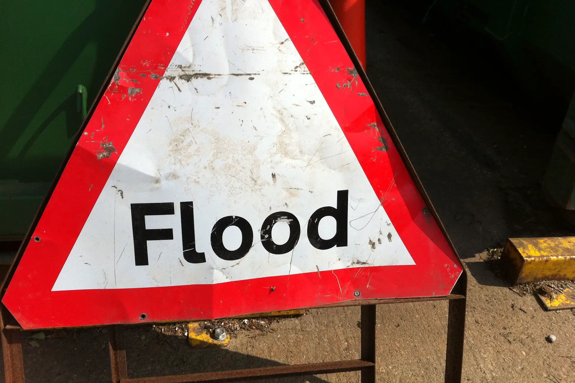
The Environment Agency have issued a number of flood alerts for the Isle of Wight for Sunday 15th November.
Isle of Wight Coast
The Flood Alert for the coast reads:
Sunday evening’s tide at 22:45 on 15/11/2020 is higher than normal due to unsettled weather with strong Westerly Force 5 winds and moderate waves.
The weather increases tide table values by 0.32 m. The total forecast tide is 4.80 metres Chart Datum (2.21 mAOD) at Cowes. Impacts will be similar to those experienced on Sunday morning. For 1 hour either side of high water, minor impact flooding will affect some seafront roads, esplanades and car parks across the Island.
Water will be high up slipways in Cowes, affecting Medina Road and the floating bridge.
In East Cowes, minor road flood impacts may be experienced as sea water is forced up through drains. Tide levels remain elevated until Tuesday 17/11/2020, but the situation is now improving.
We continue to monitor the forecast. As a very precautionary measure, any flood protection which is already installed should be left in place.
Gurnard Lock
The flood alert for Guranrd Lock reads:
Water levels in the Gurnard Luck are high and rising. In the last 9 hours, 20mm of rain has been recorded at Cowes. It is currently high tide at Cowes.
The tide is much higher than normal and is currently preventing the river from draining to sea. From midday today, the river may begin to flood gardens at Marsh Road, Gurnard. Property flooding is not expected.
Rain has now cleared the area and the river should peak around 13:00 this afternoon and then fall with the lowering tide. Some heavy showers are forecast later on this afternoon.
This evening’s high tide at 22:54 will also be higher than normal. Some minor impact flooding to gardens may also occur then. We continue to monitor the forecast and will ensure the river remains free of any reported blockages.
Until water levels fall after high tide, please keep away from the river at Gurnard Road Bridge, water will be deep and fast flowing.
Eastern Yar
The flood warning for the Eastern Yar and tributaries from Whitwell to Bembridge reads:
Water levels in the Eastern Yar are high and rising. In the last 24 hours, almost half a month’s rain (38mm) has been recorded at Wroxall. From 12:00, the river will be very high at Alverstone, rising near to the top of the river bank.
Out of bank flooding is expected at Langbridge. Rain has now cleared the area, but some showers are expected this afternoon. At Alverstone, the river is unlikely to peak until at least 15:00. At Sandown, it is unlikely to peak until around 21:00, by which time the river could just be high enough to cause minor impact flooding to Golf Links Road.
Property flooding is not currently expected, but water levels will be much higher than normal for the rest of the day.
Tomorrow the weather is drier, so the situation should improve. We continue to monitor the forecast. Please ensure that any pumps used to reduce water levels in gardens can operate.
See the Environment Agency Website for updates.
Article edit
3.20pm 15th Nov 2020 – Alert for the coast added
Image: howardlake under CC BY 2.0


