The Environment Agency have issued a flood alert for the Isle of Wight coastline.
Issued at 9.48am the flood alert reads:
Thursday morning’s tide at 10:30 on 17/10/2024 is higher than normal, due to unsettled weather with light Westerly Force 3 winds, which will increase tide table values by 0.29 m.
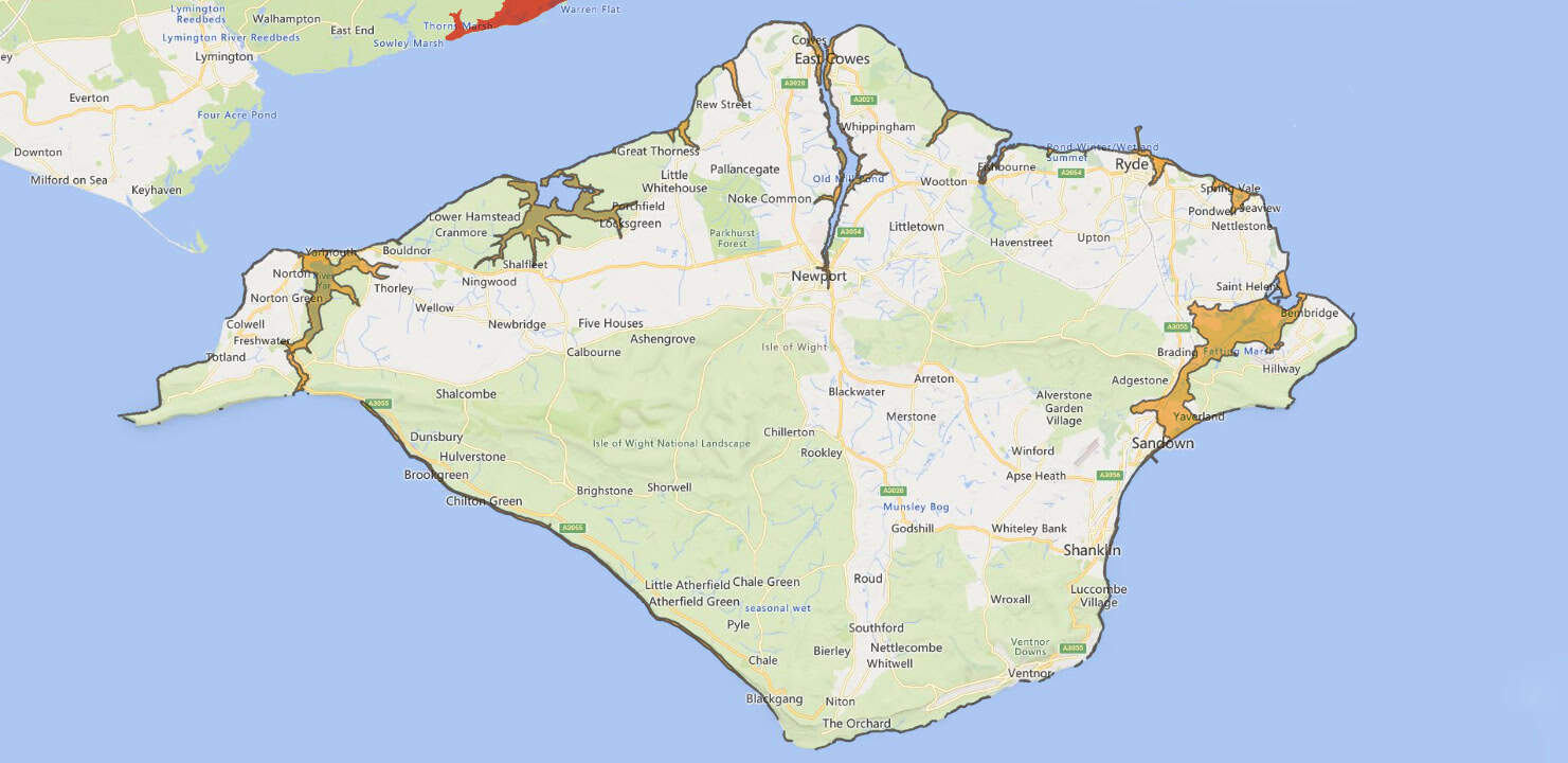
Total forecast tide is 4.61 metres Chart Datum (2.02 mAOD) at Cowes. For 1 hour either side of high water, flooding of seafront roads, esplanades and car parks is expected. Water levels will be very high in Cowes, affecting Medina Road (floating bridge) and Sea Street (Newport).
In East Cowes, seawater forced up through drains will cause minor impacts to the road at Albany Road, Well Road, York Avenue and Castle Street.
The ferry terminal car park at Yarmouth will flood. Tide levels will be a little elevated over the next 4 days, causing some minor impacts at each high water until Monday.
We continue to monitor the forecast. The tide will come near to the top of front door steps at Medina Road.
Well Road, East Cowes may be affected by water in the road. We recommend that flood protection is installed, if you have it, at Medina Road 1 hour before high tide.
You can follow the flood alert by visiting the EA website.