The Met Office have issued a weather warning for thunderstorms on the Isle of Wight.
The warning, valid from 8pm on Sunday to 4am on Monday reads:
Heavy showers and thunderstorms are expected to develop across southwest England on Sunday evening and move north across parts of Wales and Northern Ireland, clearing during the early hours of Monday morning.
A separate area of thunderstorms is likely to develop across central southern England late evening, moving north into the Midlands overnight. Whilst some places may not see much rainfall, a few places may see 20-30 mm fall in under an hour.
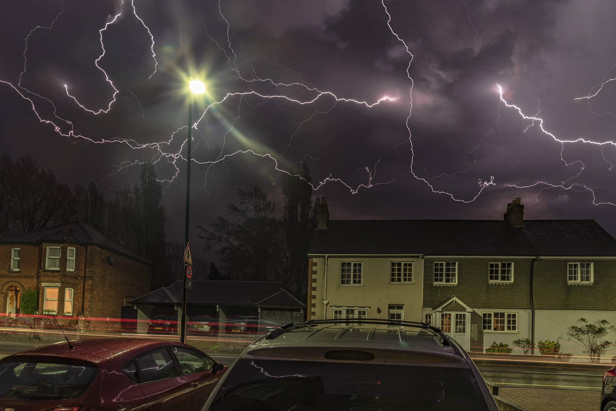
Frequent lightning, hail and locally gusty winds are additional hazards that may accompany stronger thunderstorms, particularly across southwestern parts of England and Wales.
What to expect
- There is a good chance driving conditions will be affected by spray, standing water, locally gusty winds and/or hail, leading to longer journey times by car and bus
- Probably some damage to a few buildings and structures from lightning strikes and gusty winds.
- Some flooding of a few homes and businesses possible, leading to some damage to buildings or structures
- Delays to train services are possible
- Some short term loss of power and other services is possible
Stay up to date with the weather warning by visiting the Met Office Website.
Image: © With kind permission of Damian Haworth