The Isle of Wight has been included in a weather warning for thunderstorms on Sunday 18th June.
The warning, which has been updated, is valid from midday on Saturday until midnight on Sunday and reads:
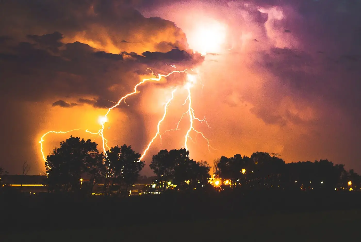
Heavy showers and thunderstorms are likely to develop across parts of England and Wales during Sunday, with longer spells of thundery rain in places. Whilst many areas will see at least some rain, most will see only relatively small amounts.
However, some places could see 30 mm in an hour and 60mm in 6 hours, with the potential for frequent lightning, strong winds and hail. Where this occurs there is likely to be some disruption.
While there is a high likelihood that thunderstorms will develop over England and Wales, there remains a large amount of uncertainty in exactly where these develop. This uncertainty is likely to remain even up to short lead times.
What to expect
- Spray and sudden flooding could lead to difficult driving conditions and some road closures
- There is a small chance that homes and businesses could be flooded quickly, with damage to some buildings from floodwater, lightning strikes, hail or strong winds
- Where flooding or lightning strikes occur, there is a chance of delays and some cancellations to train and bus services
- There is a slight chance that power cuts could occur and other services to some homes and businesses could be lost
- There is a small chance that some communities become cut off by flooded road
If last week’s weather warning was anything to go by, hopefully the Island will have a day as sunny as it has been for the last few weeks.
You can follow the weather warning by visiting the Met Office Website.
Article edit
1.45pm 17th Jun 2023 – Start time of warning moved from midnight to midday
Image: Max LaRochelle under CC BY 2.0