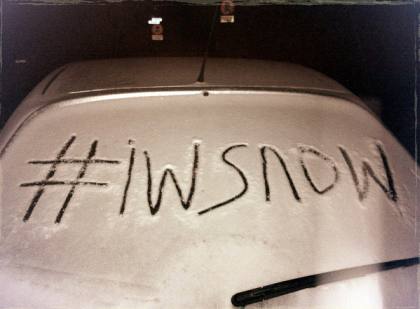
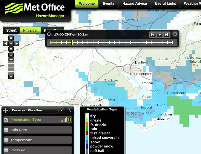
Some people love it, some people hate it, but however you feel about snow and ice, according to the Met Office, it’s on its way.
Valid from 3pm today (Thursday) until 11am on Friday.
Showers during Thursday afternoon and evening are expected to fall increasingly as sleet, snow and hail. This may settle in places, especially from late afternoon and more especially on high ground. In addition, a more persistent spell of rain, sleet and and snow may affect the west and south of the yellow area during the early hours of Friday morning. Most areas are unlikely to see large amounts of snow but icy stretches are likely to form on untreated surfaces.
The public should be aware of the risk of some travel disruption and difficult driving conditions.
The unstable westerly airflow will veer northwesterly during Thursday bringing cold air further south across the UK. Showers will therefore become wintry to lower levels. 1 to 2 cm may settle almost anywhere, especially from late afternoon and into Thursday evening.
During the early hours of Friday morning a more persistent spell of rain, sleet and snow may affect parts of Wales, the Midlands and southern England. Again, 1 to 2 cm of snow is possible at low levels whilst locally up to 5 cm could settle on high ground above about 150 m. However, this is rather uncertain and many places will see little, if any, lying snow, and ice is more likely to be a hazard.
Sunday/Monday
The Isle of Wight is also included in a further update for Sunday.
Valid from 0015 on Sunday 1st until 2345 on Monday 2nd February,
Further snow showers will affect parts of Scotland and Northern Ireland on Sunday leading to some locally large accumulations and the showers may spread along eastern and western coasts of England and Wales. The showers will be associated with strong winds so drifting and temporary blizzard conditions are possible as well as icy stretches. The public should be aware of the potential for disruption from these conditions.
Snow showers are likely to continue to affect similar areas into Monday bringing further accumulations. Meanwhile, there is a risk of a more persistent spell of rain, sleet and snow affecting Wales, the Midlands and southwest England on Monday. This alert has therefore been extended into Monday and now covers these additional areas, but this is more uncertain and therefore further updates are likely in the coming days.
Image: © Used with permission of Oblivion Head


