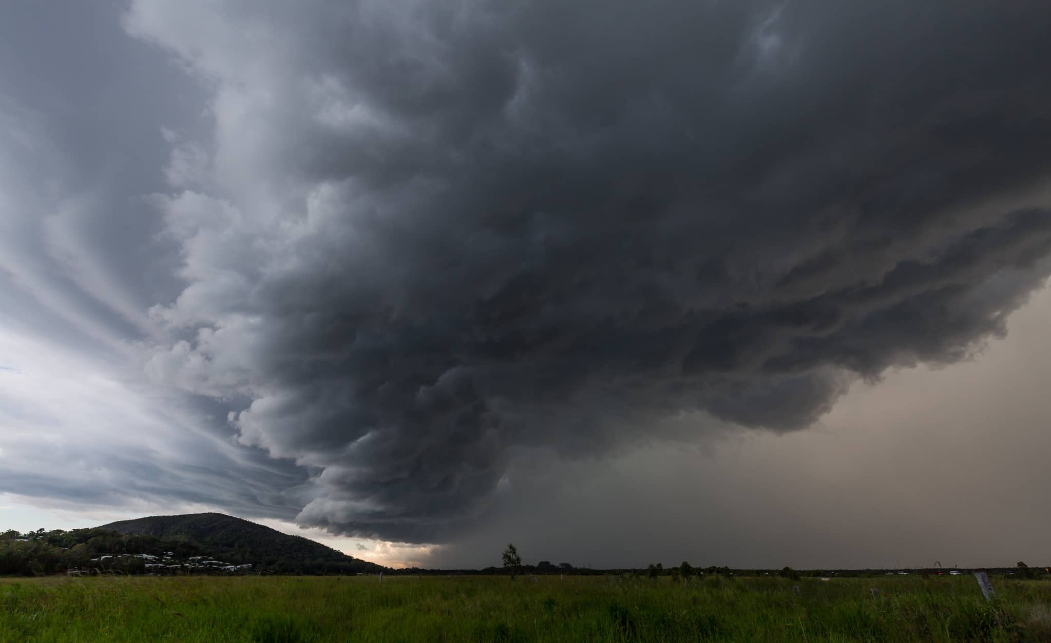
Although not until the end of the working week, the Met Office have issued a yellow ‘Be Alert’ weather warning, as Storm Eunice is expected to bring a period of very strong winds, that could cause significant disruption.
The warning, which is valid from midnight on Thursday until 9pm on Friday (18th Feb 22) reads:
Extremely strong winds may develop over southwest England early on Friday, before spreading north and east during the morning.
It is not yet clear where within the warning area the strongest winds will be but gusts of 60-70 mph are possible over a reasonably large area with a small chance of a brief period of gusts reaching 80 mph even inland.
Coastal winds are likely to be the strongest.
In addition to the wind, there is the potential for a period of snow and perhaps blizzard conditions, most likely over northern England, parts of Scotland, Northern Ireland and north Wales. However, this is very dependent on the track of the weather system and most places will see heavy rain instead.
Dangers of flying debris
It goes on to say,
- There is a small chance that flying debris will result in a danger to life, with fallen trees, damage to buildings and homes, roofs blown off and power lines brought down
- There is a small chance that injuries and danger to life could occur from large waves and beach material being thrown onto sea fronts, coastal roads and properties
- Where damaging winds occur, there is a chance that long interruptions to power supplies and other services may occur
- There is a small chance that roads, bridges and railway lines could close, with long delays and cancellations to bus, train, ferry services and flights
You can follow the weather warning – which may well change as the week goes on – by visiting the Met Office Website.


