The Met Office have issued a weather warning for strong wind affecting the Isle of Wight on Tuesday morning.
Strong winds will develop overnight bringing a risk of disruption. Valid from midnight on Monday until 8am on Tuesday, the warning reads:
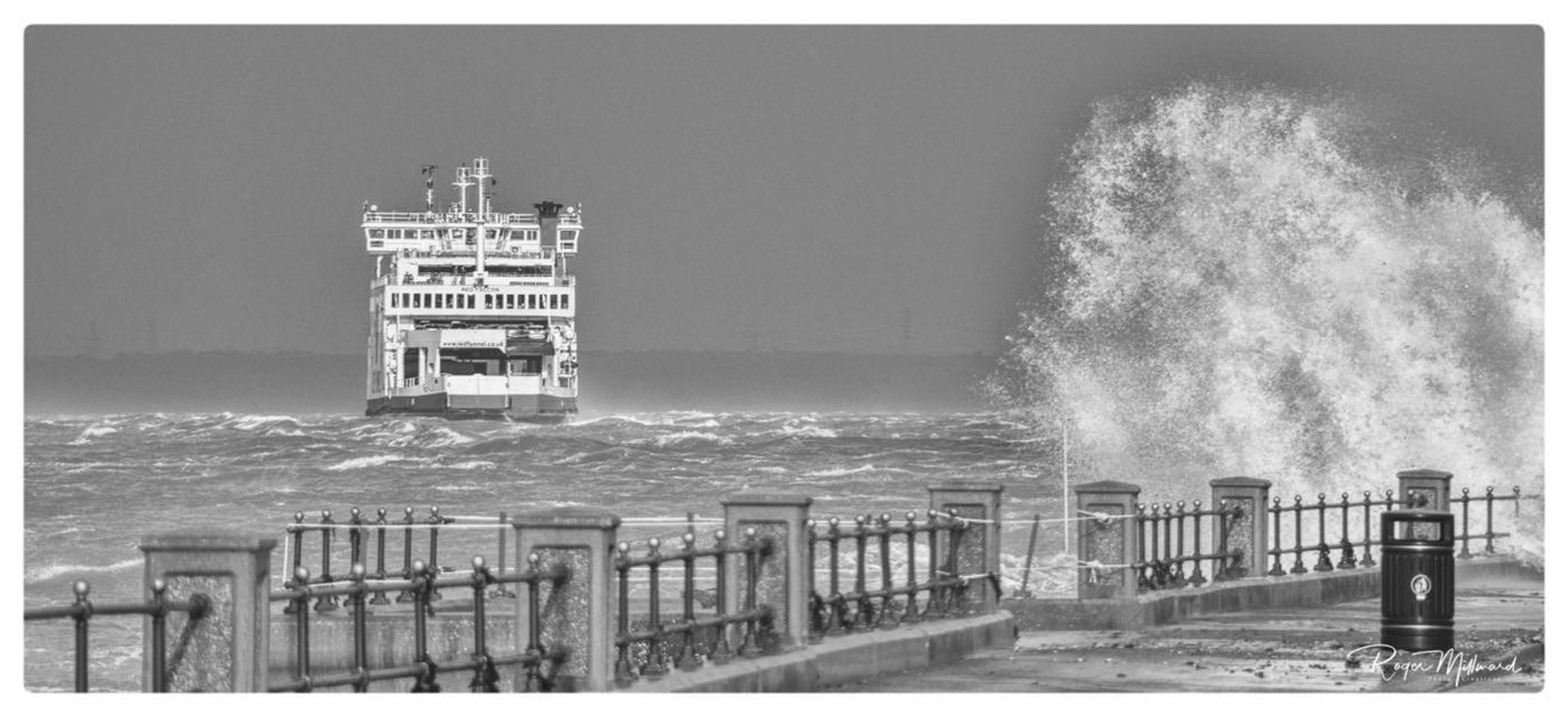
A small area of low pressure, named Storm Claudio by Meteo France, will move eastwards through the English Channel bringing a spell of strong to gale force winds.
While the strongest winds are expected over the Channel Islands and northern France, parts of southern England may well see gales for a time overnight.
Southerly winds will strengthen before veering westerly and are expected to gust to 50-60 mph, especially over coastal areas, with a risk of isolated coastal gusts to 70 mph.
What to expect
- Some delays to road, rail, air and ferry transport are likely
- Delays for high-sided vehicles on exposed routes and bridges likely
- Some short term loss of power and other services is possible
- It’s likely that some coastal routes, sea fronts and coastal communities will be affected by spray and/or large waves
To stay up to date with the warning, visit the Met Office Website.
Image: With kind permission of Roger Milward