The Isle of Wight had quite a battering last night as heavy rain and strong winds affected cross-Solent travel and electricity supplies for many.
Today has been pretty calm for most, but not for long according to the Met Office.
They are warning the public to be prepared for possible travel disruption and flooding as some areas see up to 40 mm on top of the rain that has already fallen over this week.
Deep depression heading our way
Eddy Carroll, Met Office Chief Forecaster, said: “The current very unsettled spell of weather is set to continue with further spells of wet and windy weather expected across the country over the next few days.
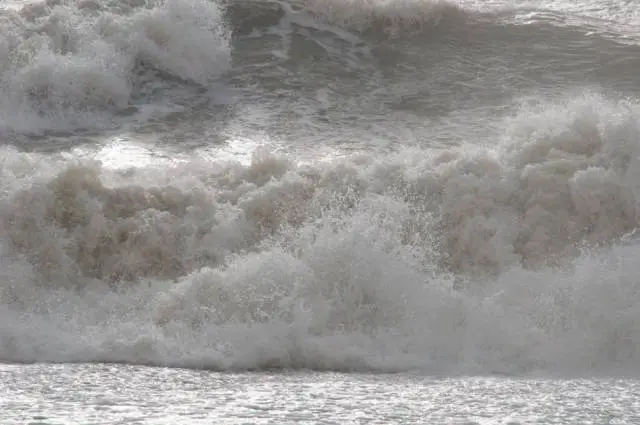
“Another deep depression will bring heavy rain and strong to gale force winds to the southern half of the UK on Saturday, and this brings the potential for further flooding and travel disruption. We urge everyone to keep up to date with forecasts and warnings and be prepared for what the weather will bring.”
Forecast for the South
Along with the heavy rain strong winds may add to the potential for travel disruption, especially across southern Britain overnight Saturday into Sunday.
Currently we are forecasting gusts of 60 to 70 mph for southern counties of England overnight Saturday and into Sunday with the potential for storm force winds over the English Channel.
A spokesman for the Highways Agency said: “We advise road users to plan their journey by checking the weather forecast, road conditions and their route for delays before they leave home and delay travelling if the weather becomes severe.”