The Environment Agency have issued an update to their Flood Alert in force for the Isle of Wight coast.
The update reads:
Wednesday’s early morning tide at 01:30 on 08/12/2021 is higher than normal due to unsettled weather with strong South Westerly Force 5 winds and large waves.
The weather increases tide table values by 0.48 m. The total forecast tide is 4.79 metres Chart Datum (2.20 mAOD) at Cowes.
The tide will be much lower than it was this afternoon, but the residual impacts from Storm Barra may still cause some minor impact flooding, especially as wave heights are larger.
For 1 hour either side of high water, minor impact flooding will affect some sea front roads, esplanades and car parks across the island, especially at more exposed locations such as Freshwater Bay, Shanklin and Gurnard.
After this tide‚ the weather is more settled, and no further impacts are expected. We continue to monitor the forecast. Please avoid driving or parking at the sea front at high tide.
To stay up to date with the warning visit the EA Website.
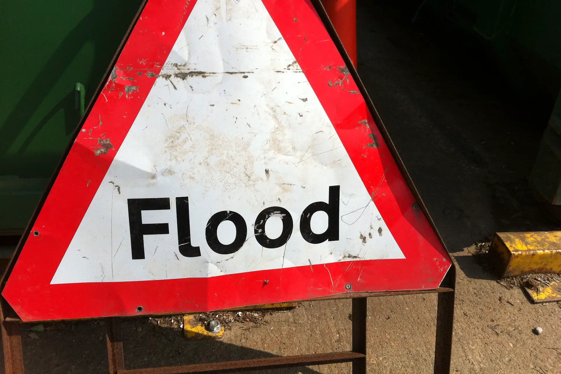
Image: howardlake under CC BY 2.0