The Isle of Wight has been included in a Be Alert weather warning from the Met Office.
Valid from 6pm today (Tuesday) until 10am Wednesday, the warning reads:
Intermittent, mostly light, snow across southwest England on Tuesday afternoon may become a little heavier and more widespread into Tuesday night, before clearing southwards on Wednesday.
Near some coasts sleet is more likely, especially at first, but this brings an ice risk.
Strong winds may cause drifting and poor visibility, especially over Dartmoor and Bodmin Moor where the snow is likely to be heavier. Here, 5 to 10 cm snowfall may accumulate above 200 metres.
Towards the north and east of the warning area small amounts of snow, mostly no more than 1 cm, seem likely.
What to expect
- Some roads and railways likely to be affected, leading to longer journey times by car, as well as bus and train services
- Snow and sleet falling on frozen surfaces may lead to icy conditions, increasing the risk of accidents and injuries
- The combination of wind and snow may cause some drifting and very poor visibilities, especially over hills and moors
You can stay up to date with the weather warning by visiting the Met Office Website.
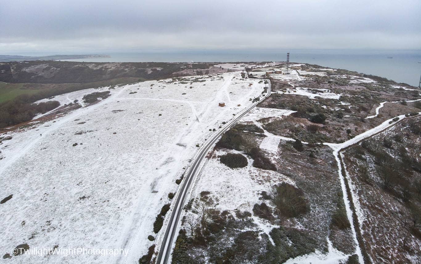
Image: © Twilight Wight Photography