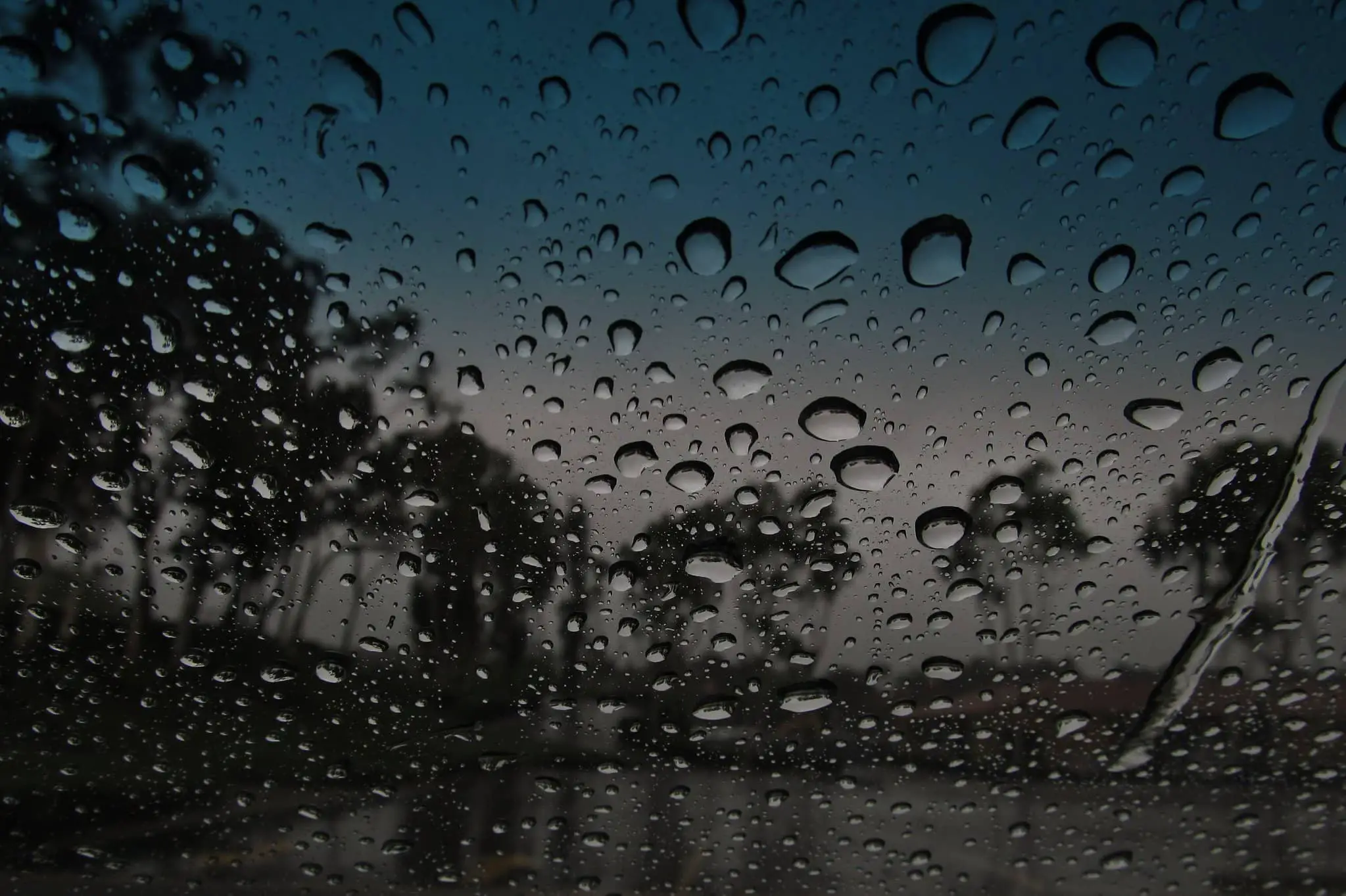
Just before 10am this morning, the Met Office issued a weather warning for the Isle of Wight for heavy showers, torrential downpours and thunderstorms.
Valid from 9.42am to 11pm on Monday the warning reads:
Heavy showers, torrential downpours and thunderstorms may cause travel disruption and some flooding.
What to expect
- There is a small chance that homes and businesses could be flooded quickly, with damage to some buildings from floodwater, lightning strikes, hail or strong winds
- Where flooding or lightning strikes occur, there is a chance of delays and some cancellations to train and bus services
- Spray and sudden flooding could lead to difficult driving conditions and some road closures
- There is a slight chance that power cuts could occur and other services to some homes and businesses could be lost
Heavy showers already affecting the south and east of the Isle of Wight will become more widespread across the warning area through the afternoon, with some thunderstorms also developing. These may be quite slow-moving and last for an hour or two. Some torrential downpours are possible with a few places seeing 50 mm of rain or more within a few hours. Lightning and hail are also additional hazards.
Stay up to date with the warning by visiting the Met Office’s Website.