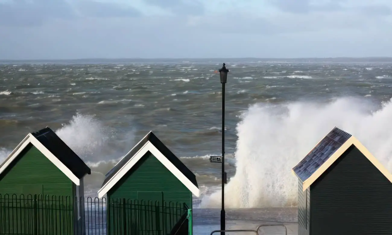
On Thursday afternoon, the Environment Agency (EA) issued a Flood Alert for the Isle of Wight coast, warning of potential flooding around 10am due to high spring tide and strong winds.
At 8.35pm and then 9.16pm on Thursday evening the EA issued another two alerts, the first for the Eastern Yar, and the second for Gurnard Luck.
Eastern Yar
The Eastern Yar Flood Alert announced that nearly 50mm of rain has been recorded at Wroxall in the previous 48 hours. It explained that water would be ponded on low lying land adjacent to the river throughout the river valley. Road, cycle track and footpath flooding was expected.
At Langbridge and Alverstone Road Bridge, the river will be close to the top of the riverbank, however, property flooding was not expected.
Golf Links Road and Moreton Common Road, Sandown were due to see the usual expected flooding in the evening and ditches around Fort Holiday Park were expected to struggle to drain while river levels are high.
Gurnard Luck
The Flood Alert at Gurnard Luck revealed a high and rising water level with nearly 50mm of rain having been recorded at Cowes in the previous 48 hours.
This is a large amount in a short period of time.
From midnight on Thursday, properties situated nearest to the river in Marsh Road were expected to experience garden flooding, although property flooding was not expected.
Garden flooding may reoccur at the next high tide expected at 10:15am today (Friday).
Residents are warned to stay away from the river at Gurnard Road Bridge around high tide as water will be deep and fast flowing.


