Gardeners will be pleased to hear that there’s no need to get your hoses out or raid your water butt to keep your gardens hydrated for the next couple of days, as the Met Office report more rain is on the way for the Isle of Wight.
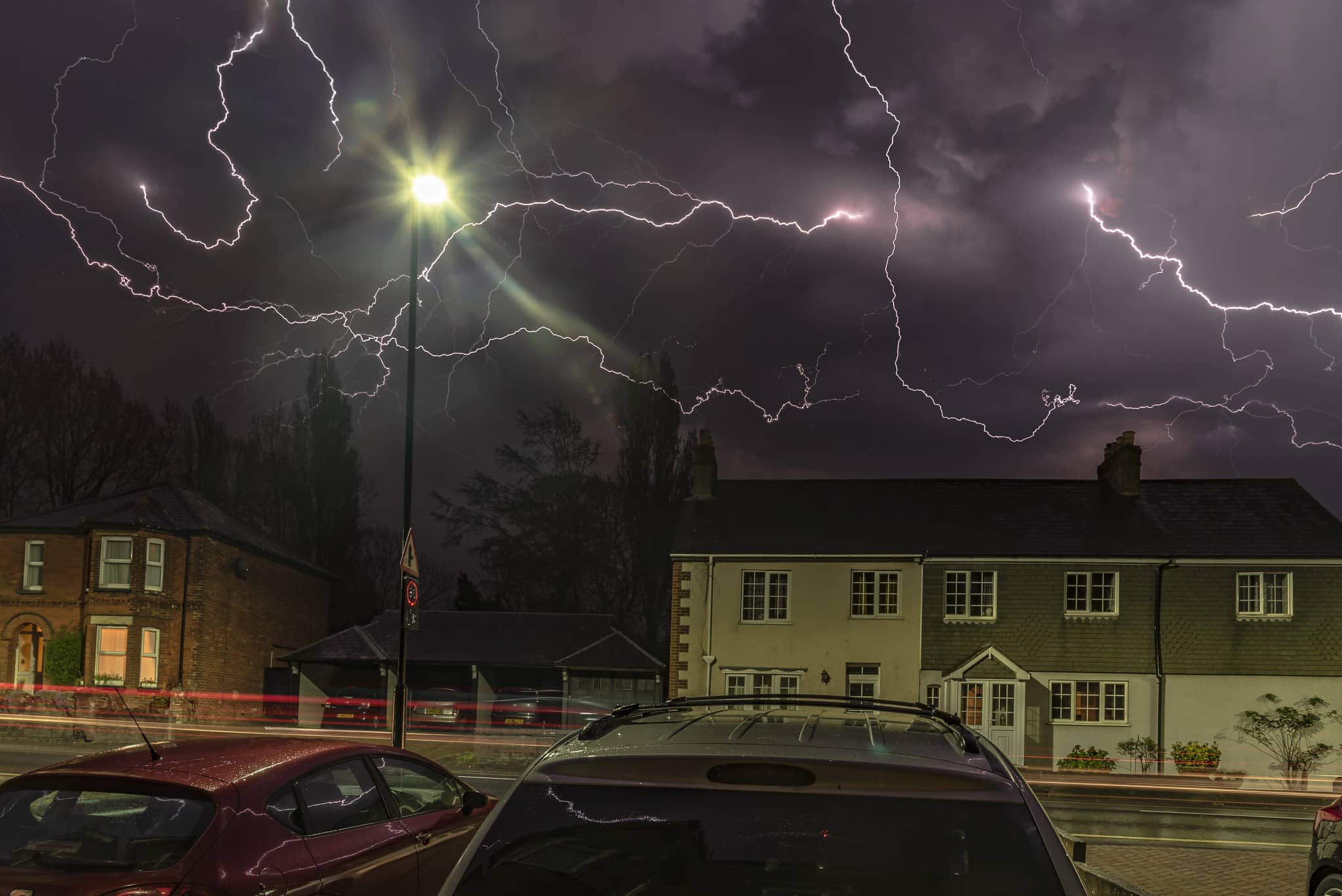
A yellow warning for thunder storms, valid from 7pm tonight (Wednesday) is valid until 3am on Thursday. It reads:
Developing showers and thunderstorms are likely to intensify across parts of the warning area through the evening, before easing away eastwards after midnight.
Quite a lot of places will probably avoid the heaviest rain and thunder, but others could experience torrential downpours and frequent lightning, while large hail and strong wind gusts may also affect a few places.
Central parts of southern England are perhaps most likely to see impacts. Rainfall amounts will be highly variable, as is usual in such situations, but the wettest spots perhaps seeing around 25 mm of rain inside an hour, and a possibility that somewhere could catch over 40 mm in 2 or 3 hours.
What to expect
- Spray and sudden flooding could lead to difficult driving conditions and some road closures
- Where flooding or lightning strikes occur, there is a chance of delays and some cancellations to train and bus services, as well as possible power cuts
- There is a small chance that homes and businesses could be flooded, with damage due to floodwater or lightning strikes.
You can follow the warning by visiting the Met Office Website.
Image: © With kind permission of Damian Haworth