For decades, residents of Ventnor on the Isle of Wight have endured regular road closures where the lower and upper parts of town connect. The road cracks, sinks, and needs constant expensive repairs.
But now, a local geologist believes he’s uncovered the real cause of the problem – and thinks there might be a permanent solution.
A fresh look at an old problem
For the past 18 months, Isle of Wight geologist Martin Simpson has been working with world-renowned engineering expert, Dr Bruce Denness, to gather new data about this troublesome stretch of road. Their research has led to a groundbreaking theory that challenges decades of accepted wisdom.
Since the 1980s, experts have blamed the road problems on what’s called a “graben” – essentially a geological structure that slowly opens up as part of the larger Ventnor landslide, which creeps forward about 5-10mm each year. The accepted view has been that only temporary patch-up repairs are possible, leading to the periodic road closures that regularly divide the town.
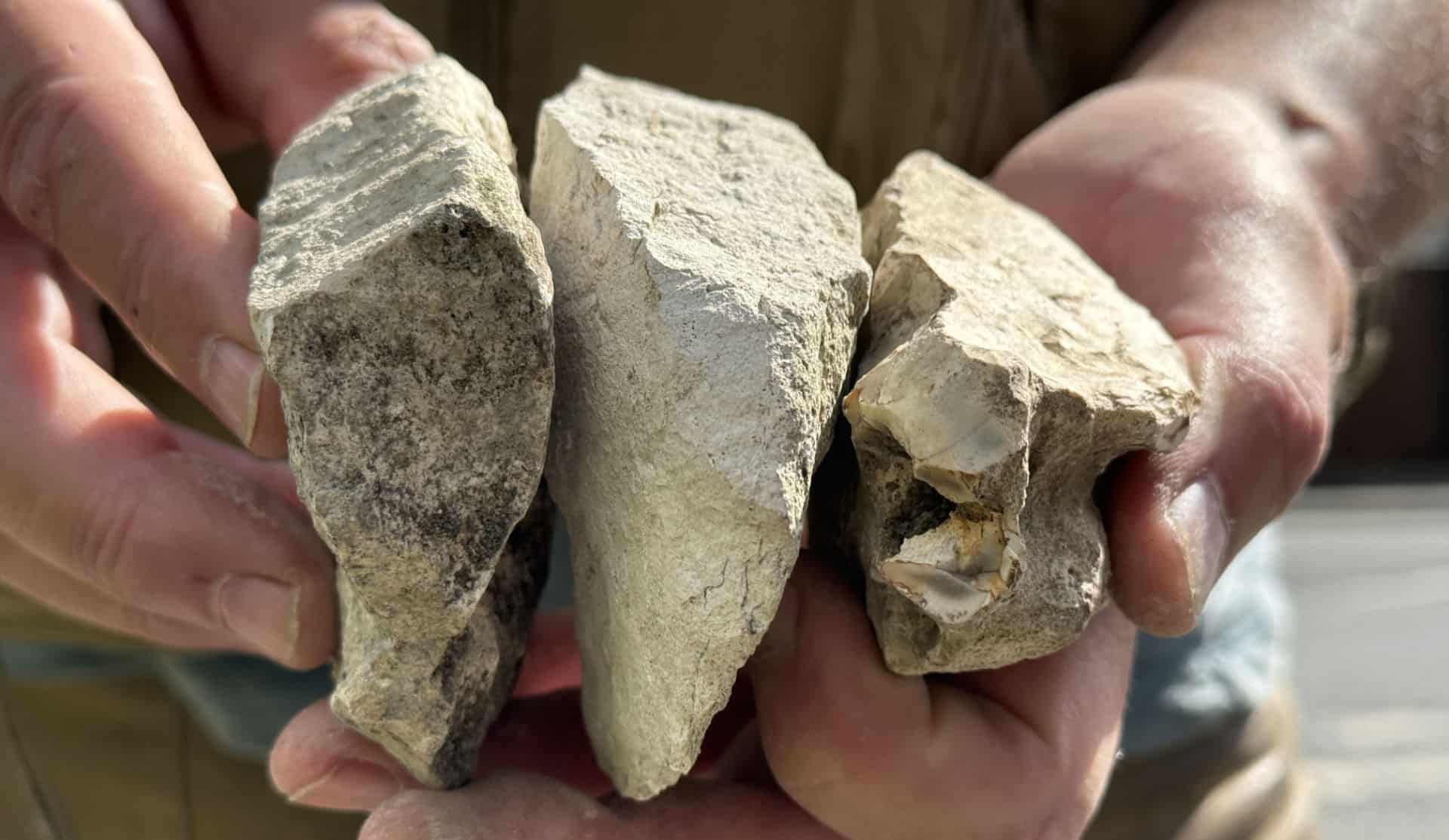
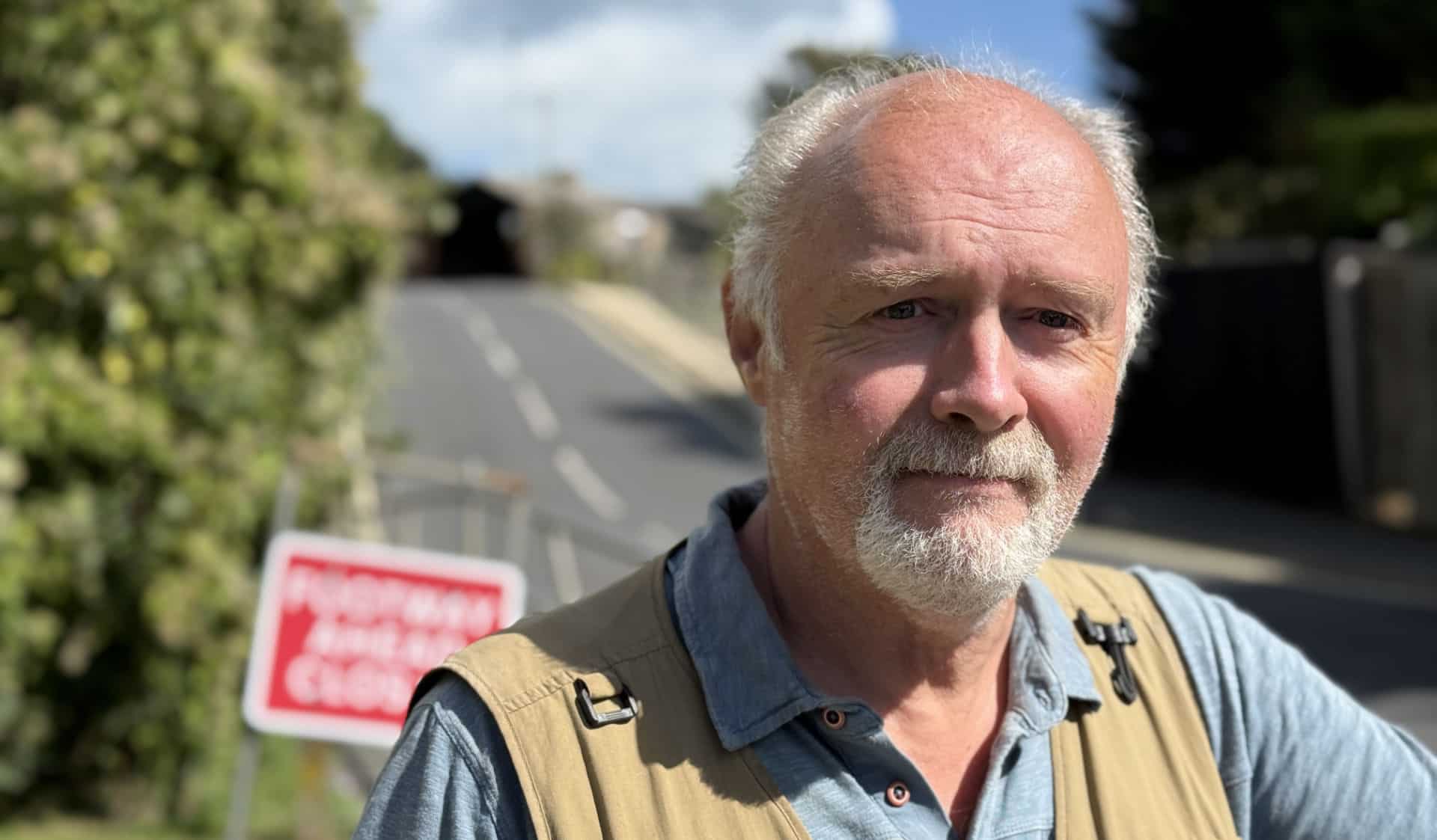
The rock on the left is the crest of the landslide (upper Ventnor), the rock on the right is moving landslide, the rock in the middle represents the graben structure
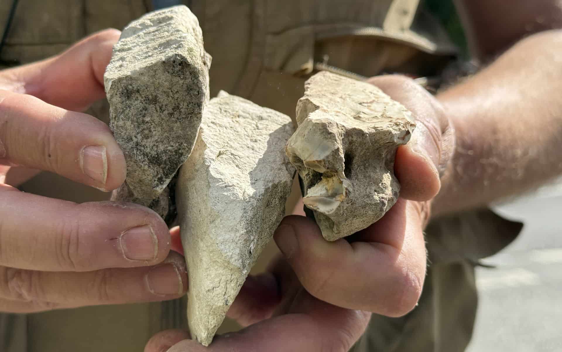
However, Martin and Dr Denness believe this explanation – which has been repeated for decades – is wrong.
The real culprit: A “chinker”
Based on data collected from residents’ gardens across Ventnor (with their generous permission), Martin and Dr Denness now believe the road damage isn’t caused by a graben at all, but by something called a “doline” – or as Islanders traditionally call it, a “chinker.”
A doline is essentially a deep crack in the ground.
The good news? If Martin’s theory is correct, and with proper funding, there could be a long-term fix that would save millions in ongoing repairs.
The historical context
Martin explains that the problem dates back to the 1890s, when a sewer was installed in the area. Over time, water and sewage have dissolved the underlying chalk, creating voids beneath the ground. Making matters worse, since the 1900s people have thrown rubbish into holes as they appeared – Martin even found a water bottle from 1902 during his research.
Using radar surveys, the team discovered lots of metal beneath the ground, possibly confirming local stories that old cars, prams, and other large items were dumped into the holes over the years. These materials have never properly settled, meaning the ground is still slowly falling, Martin says.
What’s happening now
The problems have intensified recently. What was once a smooth, canoe-shaped dip in the road is now “rippling randomly” and has developed two major cracks cutting right across the carriageway.
Anyone who’s travelled by bus on this route will recognise the sharp camber that forces tall vehicles such as lorries and buses to swing into the opposite lane.
Martin believes there are multiple voids beneath the road, some as deep as 60 to 100 feet.
A bold new approach
Here’s where the story gets really interesting. Dr Bruce Denness, a retired professor of oceanography and civil engineering, has developed a theory that could turn this problem into an opportunity.
Instead of just trying to fill the holes, Bruce suggests understanding and working with the water pressure from the underground aquifer (a natural water-bearing rock layer). His theory is that this water pressure could actually be harnessed to help stabilise the area.
Dr Denness’s previous advice (to the council and others) regarding how correct drainage can help solve erosion or landslide issues have proved their weight in gold. Listen to our 2010 podcast with Dr Denness when he came up with a drainage idea that has since helped save that part of the Military Road.
Even more exciting here in Ventnor, is the possibility of using this groundwater as a resource, potentially reducing the need for imported water to the Island.
The solution: Think bigger
Martin argues that the current approach of constantly repairing services underground is making things worse. “Every time the ground moves, these things snap. We’re adding to the problem all the time,” he explains.
His radical proposal? Remove all underground services from the unstable area and build a bridge connecting lower and upper Ventnor. This would allow the natural geological processes to continue without constantly damaging infrastructure.
What’s needed next
To prove their theory, Martin says a 140-metre-deep borehole is needed to confirm that the ground beneath is rubble rather than solid chalk. This would provide crucial data about both the geology and the water pressure.
The council is apparently considering this new theory, but more research and collaboration with geological experts is needed. Martin believes the last proper mapping of the area was done in 1897, and modern techniques could provide much more accurate information.
The Isle of Wight council recently completed coring work in the area, although it’s not known how deep the samples were taken.
The big picture
Dr Denness believes that for less than a few million pounds, the underlying problem could be fixed permanently – a fraction of what continuing with short-term repairs will cost over time.
The choice facing the council and Environment Agency (who are working on a larger coastal defence scheme in Ventnor) is clear: address the root causes now, or continue the expensive cycle of temporary fixes.
A collaborative effort
Martin is keen to work with other geologists and share his 18 months of data to solve this issue “once and for all.” He argues that relying on geological surveys from the 1980s is no longer adequate, especially given climate change and increased water ingress affecting the area.
The goal is to secure funding for comprehensive geological surveys, drill the necessary boreholes, and finally understand what’s really happening beneath Ventnor’s streets.
Looking forward
If Martin and Dr Denness are right, Ventnor could move from having one of its biggest ongoing problems to having a permanent solution that also provides a valuable water resource. The key now is getting the funding and support needed to properly test their theory.
As Martin puts it, the area needs to be remapped using modern techniques, with collaboration between geologists, engineers, and local authorities. Only then can this decades-old problem finally be resolved.
OnTheWight will be approaching Isle of Wight Council for their take on the new theory, as well as speaking further with Dr Denness.
Listen to the podcast
Listen to the full 20-minute interview with Martin Simpson recorded at the site of the road issues. You can play, pause, or jump forward or backward through the conversation as needed.