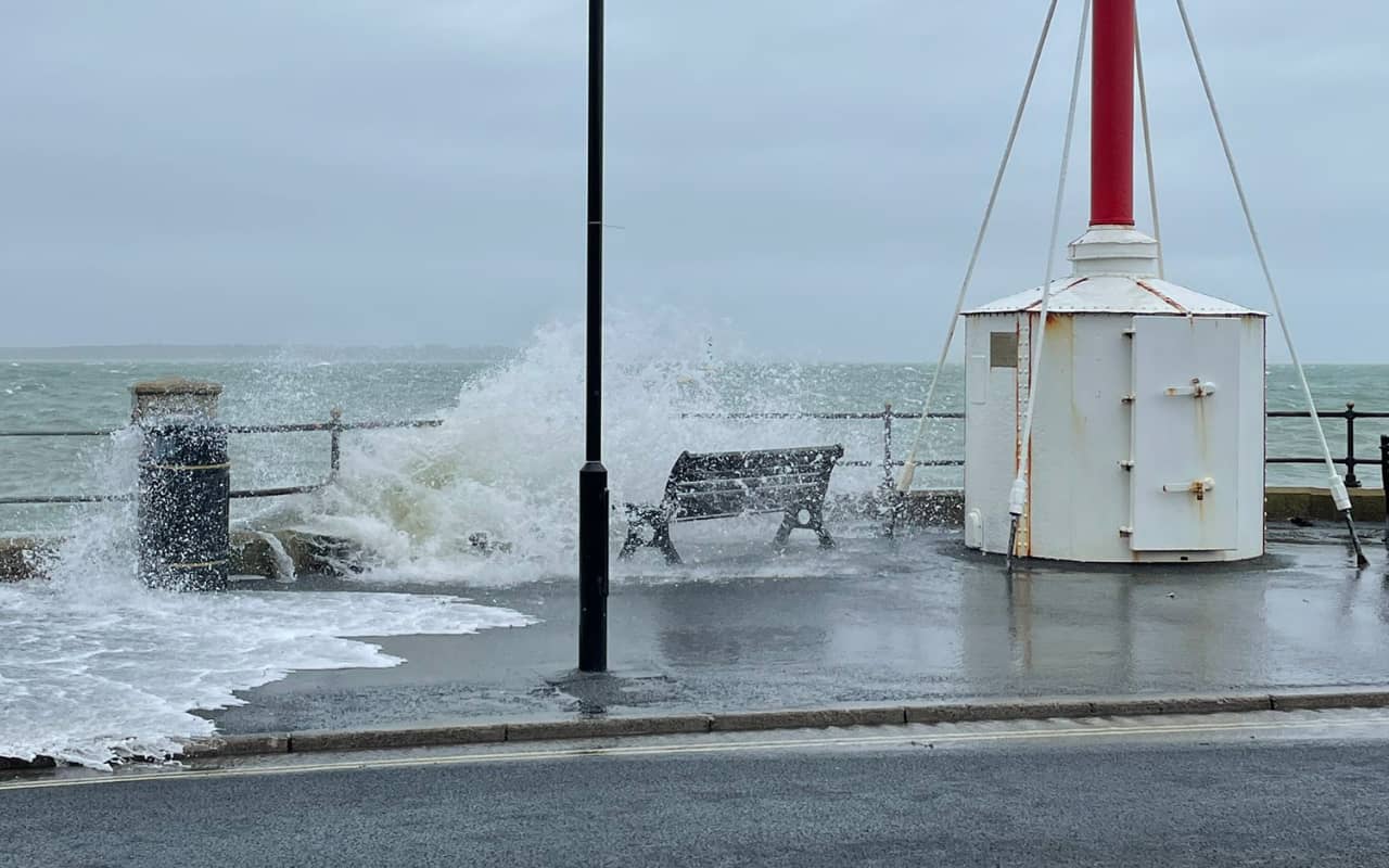
The Met Office is warning of a storm due to impact much of the UK on Wednesday and into Thursday this week.
Storm Agnes will move into western areas of the UK and Ireland on Wednesday, with the strongest winds most likely on Irish Sea coasts, though it will be a widely windy day across the UK.
Missing out on weather warning
A Yellow Warning for wind has been issued for a large area of the UK (not the Isle of Wight), with a rain warning also issued for parts of Scotland. Warnings will continue to be reviewed in the coming days as the exact track and strength of Storm Agnes becomes clearer.
The wind warning highlights the chance of some damage to building from strong winds, as well as the possibility of power cuts for some. Transport disruption is also likely, with some roads and bridges likely to close.
Ramsdale: Strong winds
Met Office Chief Meteorologist Steve Ramsdale said,
“While the precise track and depth of Storm Agnes is still being determined, there’s a high likelihood of wind gusts around 50 to 60mph for some inland areas. Exposed coastal areas could see gusts of 65-75 mph with a small chance of a few places seeing around 80mph.
“As well as some very strong winds for many, Storm Agnes will also bring some heavy rain, with the highest totals more likely in Scotland, northern England, Wales and Northern Ireland. Around 60mm of rain is possible in a few places over high ground in Scotland.”
Further ahead
Storm Agnes’s influence on UK weather is expected to diminish later on Thursday as it weakens and moves further north. Following that system, rain will move into southern areas late on Thursday and into Friday, with some heavy bursts possible for some areas of England and Wales.
However, as we move towards the weekend, a ridge of high pressure from the south is expected to bring a period of more settled weather, though some showers could continue in northern and Western areas for a time.
News shared by the Met Office, in their own words. Ed


