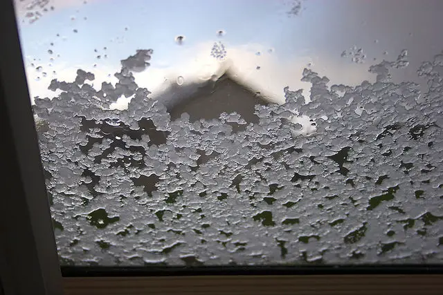
Thge Met Office have updated their snow weather warning and included one for ice.
Valid from midday until 11.55pm on Thursday 12 January 2017
Rain moving eastwards across the south of the UK today may turn to snow in places.
The most likely scenario is for 2 to 4 cm to fall above about 100 m elevation across parts of southeast England with 1 to 2 cm to low levels in places. However, there remains a small chance of snow settling more widely with 5 to 10 cm at low levels this evening, leading to disruption to road, rail and air services as well as interruptions to power supplies and other utilities – this more likely across East Anglia and southeast England. Across Wales and western England snow will more likely be confined to high ground.
Associated heavy rain and strong winds may prove additional hazards. As skies clear this evening and tonight there is also potential for widespread ice to form quite rapidly on untreated surfaces.
This is an update to add more details of possible snow amounts; also to delay the start time a little.
As a developing area of low pressure moves east across southern Britain today there is potential for rain to turn rapidly to snow as cold air is drawn in. However, there remains uncertainty over the track and intensity of this system, meaning that confidence is low in the amount and extent of any snow.
The ice warning is valid from 00:05 until 11am on Friday 13 January 2017
Ice is expected to form on untreated surfaces on Thursday night and last into Friday morning. In addition, some outbreaks of sleet and snow are likely to run quickly southwards on Friday morning, chiefly affecting parts of northern and eastern England, clearing the extreme southeast by late morning. This may give local accumulations of one to two cm and add to icy conditions in places.
Ice will lead to the risk of disruption with difficult driving conditions and expect longer journey times. The greater risk of disruption is across the Midlands, East Anglia and southeast England.
Following the eastward clearance of Thursday’s rain, sleet and snow across southern Britain, falling temperatures will lead to ice forming rapidly on untreated surfaces here. A further weather system running southwards may briefly bring some sleet or snow to northern and eastern parts of the warning area. The extent of any snow remains uncertain.
Image: Neil Tackaberry under CC BY 2.0


