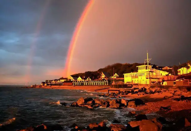
Here on the Isle of Wight we often take the Met Office weather warnings with a pinch of salt. The last two warnings for heavy rain have seen instead, bright sunny days.
However we wouldn’t be doing our duty if we didn’t share the warnings we receive.
The rain warnings for Tuesday and Wednesday read:
Between 11:00 Tue 8th and 21:00 Tue 8th
Showers are expected to develop on Tuesday. Where these occur they are likely to be heavy, slow moving and perhaps thundery.
Some areas may miss the showers entirely whilst others could see 2 to 3 hours of heavy rain. Where this occurs some disruption is possible such as localised flooding of roads.
Between 00:05 Wed 9th and 23:55 Wed 9th
Periods of heavy rain are likely to persist for much of Wednesday. Some transport routes may be affected by localised flooding leading to longer journey times. In addition localised flooding of homes and businesses is possible.
The heaviest of the rain should gradually become confined to the extreme southeast of the UK later in the day.
Sunny days to follow
The good news is that Thursday to Sunday will return some great weather for Isle of Wight, so make sure you head to Ventnor for the annual Ventnor Fringe Festival and International Festival.
Image: © Scott Hedley


