
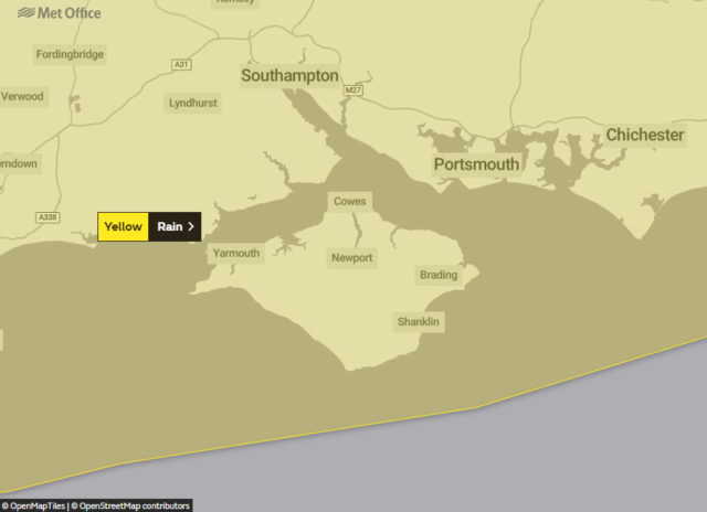
The Met Office has issued a weather warning for heavy rain and gales on the Isle of Wight next week.
The warning valid from 6am on Tuesday (26th) to 3pm on Wednesday reads:
A combination of a spell of persistent heavy rain and heavy showers that follow will bring a risk of flooding.
What to expect
- Spray and flooding on roads probably making journey times longer
- Bus and train services probably affected with journey times taking longer
- Flooding of a few homes and businesses is likely
A broad area of persistent heavy rain is expected to move northeast across this region between mid-Tuesday and early Wednesday, and may be accompanied by gale force winds across the southwest of England for a time. Heavy showers will likely follow in the wake of this rain during Wednesday, with these probably being heaviest and most numerous close to the Bristol and English Channel coastlines.
Through the combination of both the rain and following showers 10-20 mm of rainfall is expected widely across southern England and parts of southern Wales, with the potential for 40-60 mm in some isolated locations, especially across the high ground and locations that see the greatest number of showers.
Follow the latest updates on the Met Office Website.
Article edits
25.11 .19 at 10.30am – Time period of warning updated
Image: emotional discord under CC BY 2.0