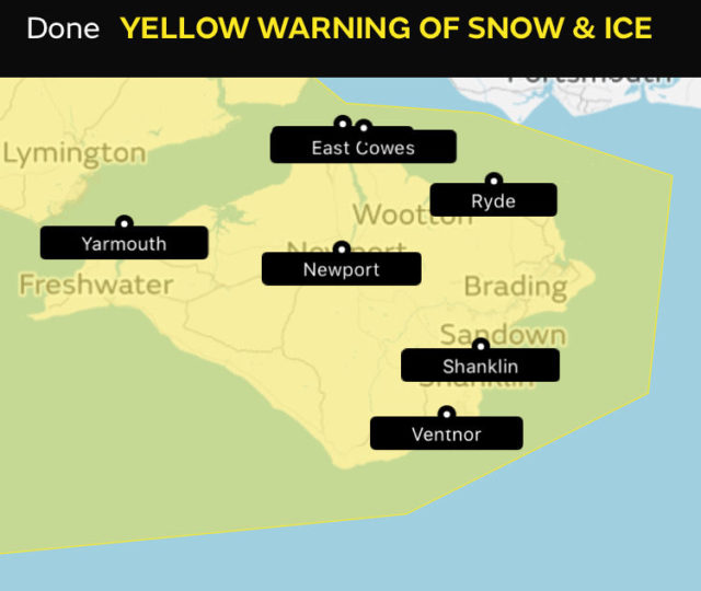
The Met Office have predicted snow and sleet for many parts of the country on Tuesday. Their maps initially didn’t show it reaching the Isle of Wight, but now do from 9pm on Tuesday to 11am Wednesday (see details here).

Our very own local meteorologists, IW Met Service, are also saying that ‘might’ see snow on Tuesday evening on the Island.
Issued on Sunday, they warned:
As we move through Tuesday a band of rain will cross the Island, but as the winds turn round into the NW during the transition of the front the rain is likely to turn to sleet and then to snow.
A slight covering is likely in some places with the risk of a couple of centimetres on the highest hills.
Watch/listen to the six minute video below for a full explanation of their forecast.
We’re sure there’ll be more updates over the next two days, so we’ll keep you informed.
Images: © Nick Edwards – Wight Seen


