The north and west of the UK will be most affected by the strong winds (up to 80mph in coastal areas), but the weather warning applies to the whole of the UK, including the Isle of Wight.
The weather warning which includes heavy rain, is valid from 6pm on Saturday (8th February) until midnight on Sunday and reads:
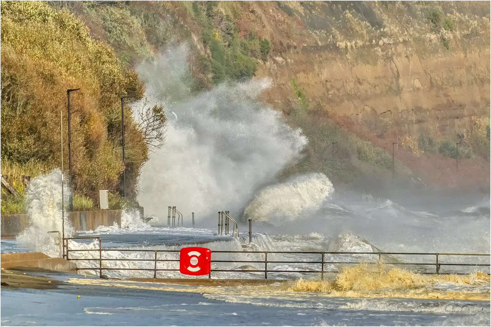
Very strong winds may bring disruption to parts of the UK later this weekend.
What to expect
- Some delays to road, rail, air and ferry transport expected
- Coastal routes, sea fronts and coastal communities affected by spray and/or large waves
- There is a small chance that some roads and bridges could close
- There is a slight chance that power cuts may occur, with the potential to affect other services, such as mobile phone coverage
- There is a slight chance of some damage to buildings, such as tiles blown from roofs
Very strong winds are likely across much of the UK later Saturday and through Sunday. Gusts of 50 to 60 mph are likely across many inland areas, with gusts 70, possibly 80 mph around some exposed coasts and hills, especially in the north and west.
Heavy rain will be an additional hazard, especially over western hills. Winds of this strength across a wide area have the potential to produce disruption to transport, along with some coastal impacts, especially in the west
Image: © Jamie Russell Island Visions