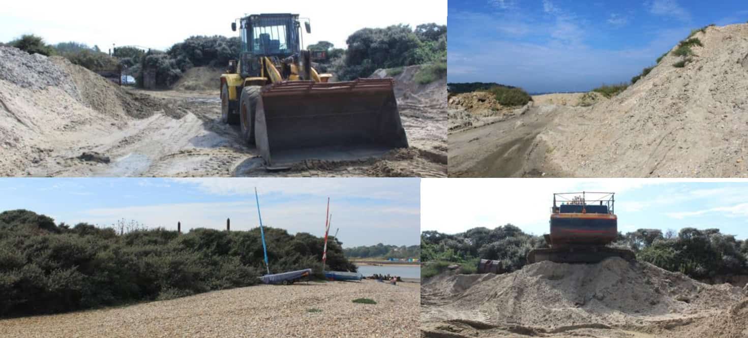
Land near an Isle of Wight seaside village could continue to be used for dredging thousands of tonnes of material from a nearby harbour.
JMC AG Ltd has applied for planning permission to continue using land at Bembridge Point off Embankment Road, Bembridge, for storing, sorting and distributing gravel in connection with the dredging of Bembridge Harbour.
Keeping the channel navigable
Dredging operations at the scenic harbour have helped to keep its channel navigable and supply mineral resources, according to a Planning Statement prepared by rural property specialists, BCM Wilson Hill.
The document said,
“The principle of the development is long established with the original temporary consent granted in the 1980s and the continued renewals of this consent, the most recent being in 2019.
“Previous planning conditions restricted the sorting, grading, loading and carriage of gravel from the site to between 7am and 6pm Monday to Friday and 7am to 1pm on Saturdays and not at all on any Sundays or Bank Holidays, and allowing the movement of plant required for dredging to take place between 5am and 7am on the spring low tides (but not on Sundays or Bank holidays).
“The operations will continue the same way and with the same level of materials as has been ongoing for a number of years.
“The average dredging is around 15,000 tonnes per year (weight as wet).
“The Bembridge Neighbourhood Development Plan (BNDP) policies support the local economy and the marine-related nature of the local businesses (including within the harbour with the sailing and yacht clubs, the marinas and the approximately 500 moorings) which would be significantly impacted should the dredging operations not continue and the channel into the harbour becoming not navigable.”
Though sitting within an ‘area at high risk of flooding’, BCM said the application site was the ‘most appropriate location’ for operations as an exit point from the sea.
View the plans
You can view the plans on the council’s planning register (24/01778/FUL).
A public consultation on the application will end on 15th January 2025.
This article is from the BBC’s LDRS (Local Democracy Reporter Service) scheme, which News OnTheWight is taking part in. Some alterations and additions may have been made by OnTheWight. Ed


