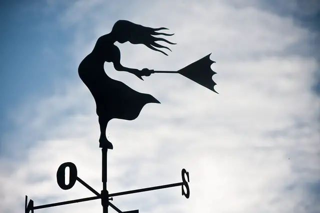
The Met office have updated their sever weather warning for the Isle of Wight tomorrow and now included Saturday.
Valid from 11am on Friday and running to 3am on Saturday, the warning reads,
Gales are expected to affect some southern parts of England and Wales on Friday and into Saturday morning. The most likely scenario is for inland locations to see a relatively short period of 40-50 mph gusts. Windward coastal areas will see a longer period of 50 to 60 mph gusts with isolated gusts to 70 mph. Some travel disruption is possible as well as some trees being brought down. Some heavy rain may also bring surface water issues to parts of southwest England and south Wales.
There remains a low likelihood of gusts reaching 80 mph in some exposed southern counties.
This is an update to delay the start time of the warning, extend it into Saturday morning and remove much of Wales from the warning area.
A low pressure system currently developing in the Atlantic looks to run into southern parts of the UK on Friday. There remains some uncertainty over the track and timings of this but the signal remains for the strongest winds to affect parts of northern France and the English Channel.
Whilst many areas will see the strongest winds clear during Friday evening the northeast of the warning area will see them continue into Saturday morning.
Image: garryknight under CC BY 2.0


