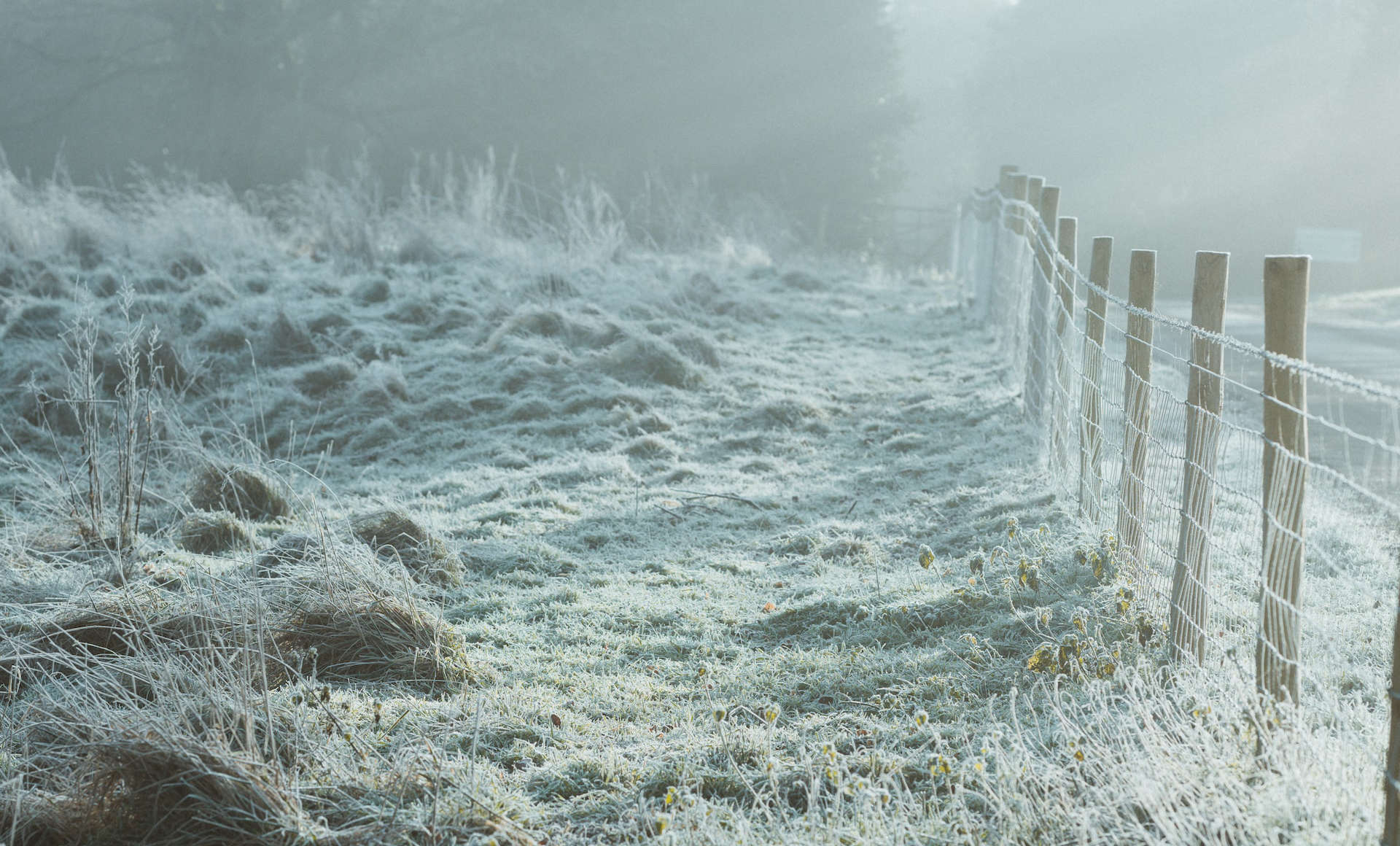
The Cold-Health Alert for the South East (which includes the Isle of Wight), issued by the UK Health Security Agency (UKHSA) and the Met Office, has been extended until noon on Thursday 18th January 2024.
The Cold-Health Alert is issued to notify those working in the health and care sectors, but they also prove a useful reminder to check on older or vulnerable neighbours.
Winter tips top stay healthy
These simple steps below, issued by the Isle of Wight council last week can be followed to help yourself and others stay healthy over the winter:
- Keep warm. A cold home can increase the risk of health impacts, particularly for more vulnerable people.
- Try to heat rooms you spend a lot of time in, such as the bedroom or living room, to at least 18°C (65°F), day and night – and keep bedroom windows closed. You may prefer your main living room to be slightly warmer.
- Wear several layers of thinner clothing rather than one thick layer – this will help keep you warmer.
- Draw curtains at dusk and block out draughts.
- Try not to sit still for too long, ideally not more than an hour or so. Anyone who has trouble getting up and moving around can also stretch their arms and legs to help them stay warm.
- If you need to go out, remember to wrap up warm, and wear shoes with good grips to avoid slipping on icy surfaces.
Disruptive snow?
The Met Office have also stated that disruptive snow and ice are possible next week across the country, as an arctic airmass exerts its influence on the UK’s weather.
From the middle of next week, we can the Met Office say we can expect milder Atlantic air pushing in from the southwest.
Met Office Deputy Chief Meteorologist David Hayter explained,
“While the initial snow risk from Sunday onwards is looking most likely to be coastal areas in the north of the UK, including North Sea and Irish Sea coasts, there’s an ongoing likelihood of some disruptive snow through the middle to latter part of next week.
“What we’re keeping an eye on for this disruptive snow is where exactly this milder air from the southwest bumps into the cold air that will be in place over the UK. It’s where these airmasses meet that there’s a likelihood of some substantial snow for some places. At the moment, models are showing us a variety of options for exactly when and how this situation plays out and it’s something we’ll be able to add more details to in the coming days.”
Williams: Prepare for the worse
RAC Breakdown spokesperson Simon Williams said,
“With an increasing risk of snow and ice at the start of next week we urge drivers to make sure they travel fully prepared. Having a few essential items in the boot – no matter what distance you’re going – can make a massive difference in a breakdown situation in freezing conditions. A warm, waterproof coat, sturdy footwear and gloves, along with a blanket and a power bank to keep your phone charged are vital.
“While no one sets out to breakdown or get stuck in very cold, potentially snowy conditions, there are far too many instances where drivers have underestimated the severity of the conditions and found themselves in danger. It’s far better to prepare for the worse and hope for the best.”


