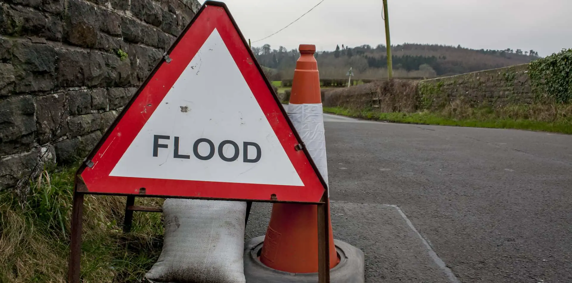
The Environment Agency have issued an update to several flood alerts on the Isle of Wight.
Individual alerts are no longer in force for Whitwell, Wroxall, Langbridge, Alverstone on the Eastern Yar, as well as Sandown, Brading and Bembridge on the Eastern Yar.
However, slightly confusingly the flood alert for “Eastern Yar and tributaries from Whitwell to Bembridge” remains in place and has been updated as follows:
The water level in the Eastern Yar remains very high. At Alverstone the level is rising following 7mm of rain, which has been recorded overnight at Knighton.
“At Sandown the level is falling, though it will increase over the next few hours.
Today (Tuesday 12/12/23), a continuation of flooding affecting land, access and cycle tracks, gardens and roads (Golf Links and Moreton Common Road) throughout the Yar Valley is expected.
“Showers are forecast today (Tuesday 12/12/23), with the heaviest expected between 10:30 and 14:30 when 5-10mm is expected. The river will rise in response to this rain, but it is unlikely to flood property.
The weather outlook to Saturday looks fairly dry, so after today, the river will lower for the next 5 days.
“The tide range at Bembridge has also increased, allowing more water to drain to sea at each high water. We continue to monitor the forecast.
“Please ensure that any products used to protect gardens from flooding can operate and avoid flooded areas.
You can stay up to date with the warning by visiting the EA website.