The Met Office say there is a chance that thunderstorms may cause some flooding and disruption on Sunday night on the Isle of Wight.
Valid from 8pm on Sunday night to 5am Monday morning, the warning reads:
Although the locations affected by thunderstorms remains uncertain, a few places may experience a combination of heavy rain, frequent lightning and hail during Sunday night.
Should thunderstorms develop, they are likely to move north from the south coast during Sunday evening into parts of south Wales, southern England and East Anglia overnight before gradually weakening during Monday morning.
Whilst some places will remain dry, a few places may see 20-30 mm of rain fall in less than an hour, with frequent lightning and hail additional hazards.
What to expect
- There is a small chance that homes and businesses could be flooded quickly, with damage to some buildings from floodwater, lightning strikes or hail
- Where flooding or lightning strikes occur, there is a chance of delays and some cancellations to train and bus services
- Spray and sudden flooding could lead to difficult driving conditions and some road closures
- There is a slight chance that power cuts could occur and other services to some homes and businesses could be lost
You can follow the warning by visiting the Met Office Website.
Thank you
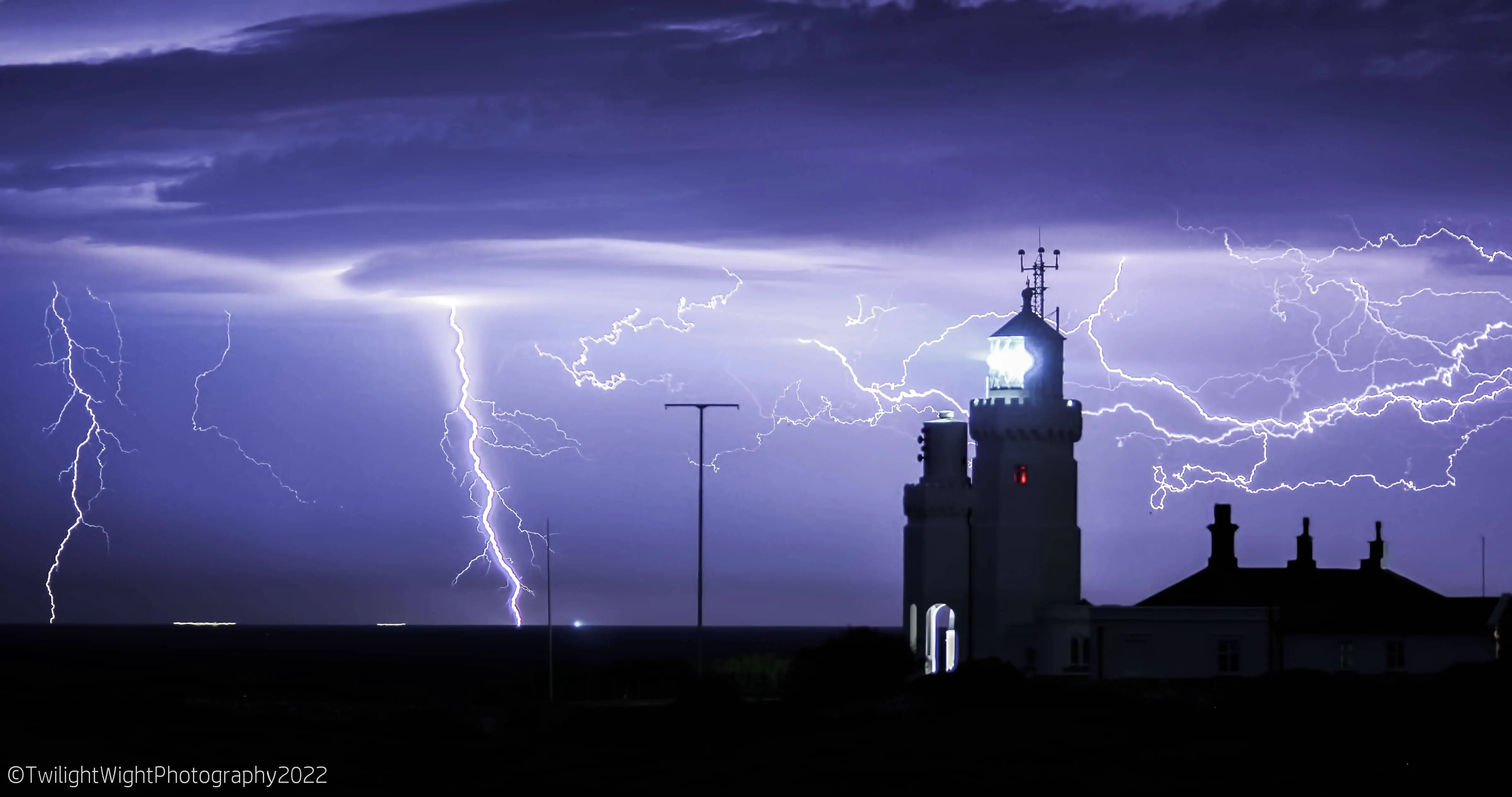
Our thanks to Margaret from Twilight Wight Photography for sharing the superb image at the top, shot at 2.25am this morning, before the rain arrived.
Image: © Twilight Wight Photography