The Environment Agency (EA) have said today (Monday) that flooding is possible for the Eastern Yar and tributaries from Whitwell to Bembridge.
They warn residents to “Be prepared”.
The Flood Alert reads:
The water level in the Eastern Yar remains higher than normal. In the last 24 hours, only 5mm of rain has been recorded at Wroxall.
At Alverstone, the river is falling at a rate of 2cm per hour.
At Sandown, the river level is currently peaking and is expected to begin falling this afternoon (28/11/2022).
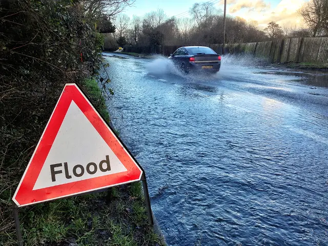
Minor flood impacts affecting roads (including Golf Links Road, and Moreton Common Road), cycle tracks, footpaths and gardens will continue throughout the Yar Valley today (28/11/2022).
At Sandown, ditches around Fort Holiday Park will struggle to drain while river levels are high. From Tuesday (29/11/2022), a period of high pressure builds and the weather is expected to remain dry for the next four days.
This will give the river a chance to recover, but levels are unlikely to return to normal until later this week. We will continue to monitor the river and weather forecast information.
Please avoid walking or driving through flood water.
To stay up to date with the Flood Alert visit the EA Website.
Image: © Island Roads