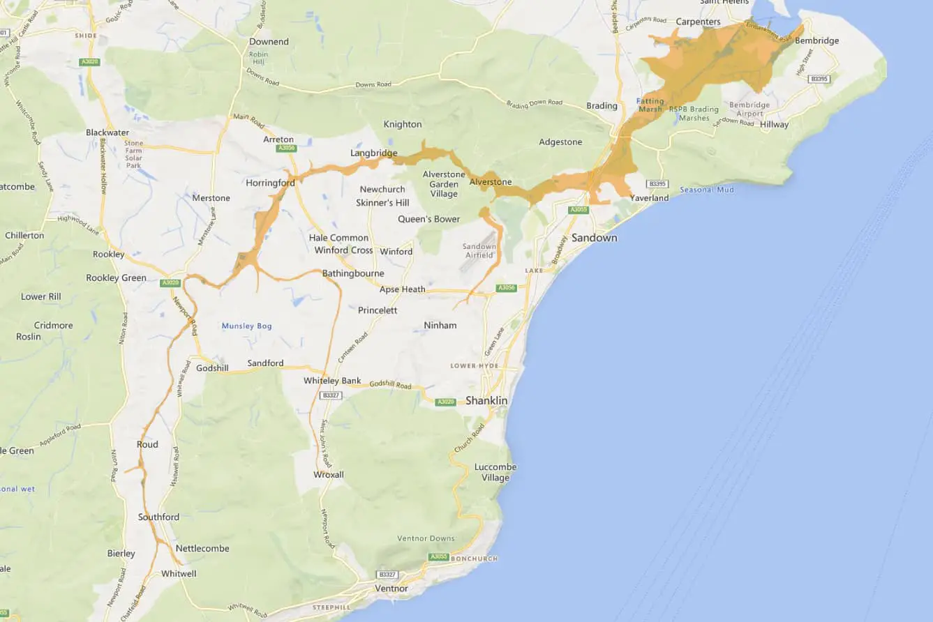
The Environment Agency have issued a flood alert for Flood alert the Eastern Yar and tributaries from Whitwell to Bembridge.
The alert, issued at 11.50am on Monday (26th Feb) reads,
Water levels throughout the Eastern Yar are rising slowly. Following last night’s heavy rain (25mm on Sunday 25/02/2024), water will be ponded on low lying land adjacent to the river throughout the river valley. Road, cycle track and footpath flooding is expected.
At Langbridge and Alverstone Road Bridge, the river will be close to the top of the riverbank. Property flooding is not expected.
Flooding of Golf Links Road and Moreton Common Road, Sandown, is ongoing and ditches around Fort Holiday Park will struggle to drain while river levels are high.
The current weather forecast indicates there will be a small amount of rain over the next 4 days. This will allow the river to continue to return to normal seasonal flows.
However, further heavy rain is forecast on Friday (01/03/2024). We will continue to monitor the forecast and will ensure the river remains free of any reported blockages. Avoid walking or driving through flood water.
You can follow the flood alert by visiting the EA website.