News OnTheWight has gathered together a comprehensive guide for those taking part in Walk The Wight 2023 – or those who are not, but need to get around the Isle of Wight.
Things have changed this year, so there’s an interactive map with 450+ items on it, or if you prefer, lists of the roads that are closed, or have one-way restrictions.
This Sunday
This Sunday welcomes the return of Walk the Wight, the flagship fundraising event for Mountbatten, which sees thousands of walkers put on their walking boots and set off for the 26.5mile trek across the Isle of Wight.
There are a range of walks planned, for all abilities, but the main route runs from the East to the West of the Island, so if you need to travel between North and South, you’ll need details.
Taking part?
If you’re taking part, the detailed map will help you plan your Walk The Wight as you’ll understand where all of the essentials are – toilets; water stops; marshals, first aiders, styles; places selling food along the route; etc.
Or not
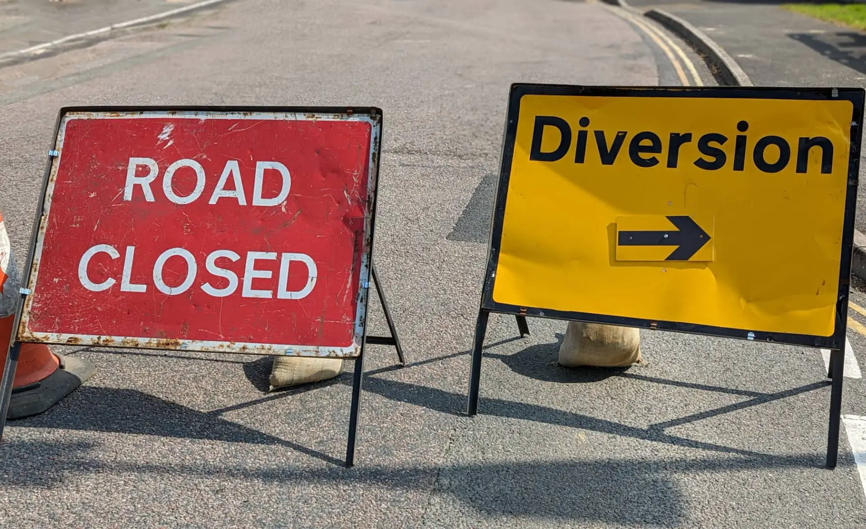
Not taking part, but need to get around the Island? The collected info below will help you understand the route, which roads to avoid, which are closed and where the temporary traffic lights are, so you’ll be able to safely cross the stream of those taking part.
If you are driving, please remember to be patient, this event takes place only once a year and last year saw more than 4,000 walkers raised hundreds of thousands of pounds to for Mountbatten, who deliver expert care and support to Islanders when they need it most.
Changes to road closures etc
As reported by earlier this month several new changes have been introduced to this year’s plan.
- The biggest change will be the closures of Clatterford Shute and Froglands Lane. These will be closed in their entirety between Clatterford Road and Whitcombe Road.
- Newport Shute and Lime Kiln Shute will both be open albeit it a one-way system.
- Lynch Lane, Brighstone, will be closed as a through road, although access to properties and event traffic will be maintained.
Cyclists are asked to take particular care when using shared used paths, and asked to dismount whenever they encounter large groups of walkers, particularly on the Flat Walk.
If you do need to get from north to south, it would seem easiest to select a point based on where there are traffic lights marked in the maps.
See the maps
The Google map provides a huge amount of information about the route, that will be useful for walkers and drivers.
Lists of roads effected
If you prefer to read the road names rather than looking on a map, see the tables below. The first is road closures, the second one-way restrictions.
Road closures for Walk the Wight 2023
| Road | From | To |
|---|---|---|
| Common Wood Lane, Bembridge | B3395 Sandown Road | Hillway Road |
| Mersley Lane, Newchurch | Knighton Lane | The Garlic Farm |
| The Fairway, Lake | Station Approach | Golf Links Road |
| Longwood Lane, Lake | Golf Links Road | Lower Road, Brading |
| Nunnery Lane, Newport | Whitcombe Road | Watergate Road |
| Marvel Lane, Newport | Entire Length | Entire Length |
| Watergate Road, Newport | Nunnery Lane | Entrance of Grange Kennels |
| Whitcombe Road, Newport | entrance to the Quarr Group | Froglands Lane |
| Froglands Lane | Froglands Farm | Clatterford Shute |
| Clatterford Shute, Newport | Entire Length | Entire Length |
| Millers Lane, Newport | Clatterford Shute | To approximately ten metres northbound |
| Lynch Lane, Calbourne | Winkle Street | Strawberry Lane |
One way restricted roads for Walk the Wight 2023
| Road | Notes |
|---|---|
| Alum Bay Old Road | Totland a southwest bound direction from a point 30 metres north east of the junction with Alum Bay New Road to its junction with Alum Bay New Road; |
| B3395 Sandown Road | Bembridge in a northeast bound direction from its junction with Hillway Road to its junction with Steyne Cross (junction of Hillway Road and Steyne Road |
| Hillway | Bembridge in a southwest bound direction from its junction with Steyne Cross to its junction with B3395 Sandown Road |
| Knighton Lane and Knighton Shute | Newchurch in an east and north bound direction from its junction with Mersley Lane to its junction with Mersley Down Road |
| Downend Road | Newport in a south bound direction from its junction with Burnt House Lane to its junction with A3056 Arreton Street, Arreton |
| Lime Kiln Shute | Newchurch in a westbound direction for its entire length |
| Newport Shute | Arreton in a westbound direction for its entire length |
Show your support
If you don’t know someone doing the walk that you can sponsor, you can make a donation directly to Mountbatten on their Website.


