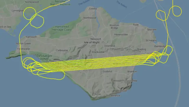
The same plane has been scanning the whole of the Isle of Wight form the sky over the last week.
The flights started on Bank Holiday Month (25th May) and have been scanning the Island every day, sometimes twice a day. They have followed a very deliberate, methodical route, scanning perfectly straight and parallel lines from the tip of the Island to its tail.
Not only have the lines of the flight been very regimented, but so have the height and speed, with the flight averaging around 1,000ft, at a speed of around 100kt.
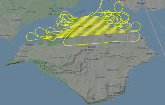
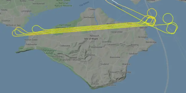
The plane (BIO05 / OY-MNS) is owned by a Danish company called BioFlight. Their Website says they are, “an independent company with a strong relation to environmental flights in connection with offshore wind farms and wildlife monitoring programs.”
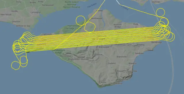
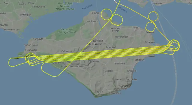
News OnTheWight has contacted the company to ask them what they were scanning for and what the data will be used for, but at the time of going to press, we’ve yet to hear back. We’ll update this article when we do.
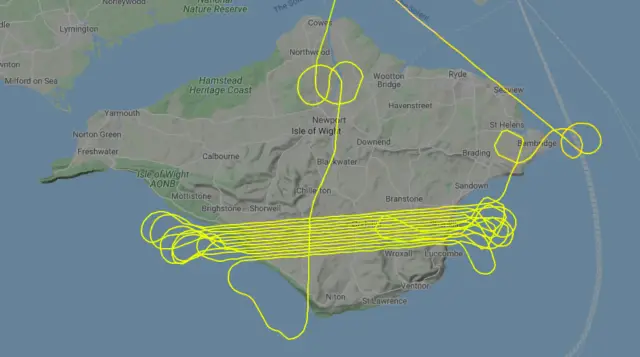
Flights over the Isle of Wight have previously been made, such as gathering LiDAR data (a kind of aerial radar that uses light). This LiDAR data has many uses and had been adapted for quite fun ideas too.
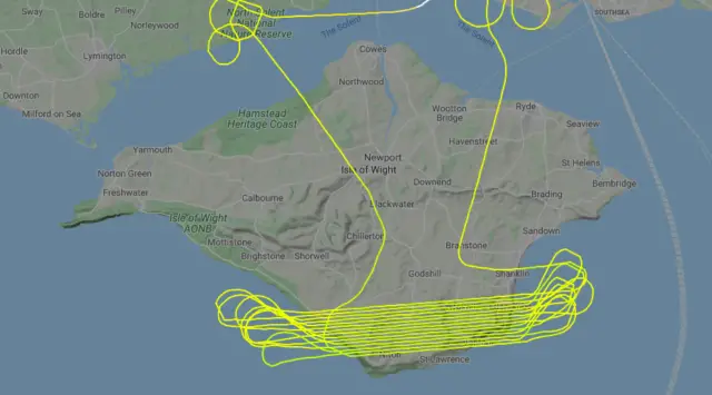
Many thanks to eagled-eyed News OnTheWight reader, Bryan Green for spotting this and getting in touch.
Flight data and maps courtesy of Flightradar24.com.


