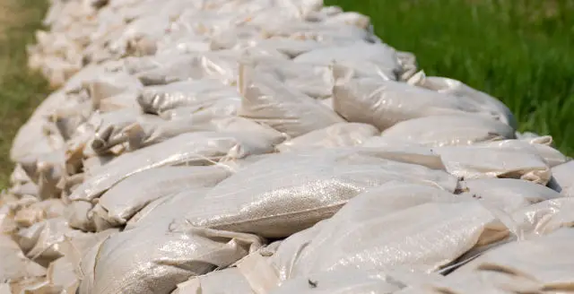
The location of where to find sand bags on the Isle of Wight varies slightly depending on which areas are thought to be at risk from flooding.
OnTheWight has created a map you can use to locate them, as well as images if you don’t want to interact with the map.
Bookmark this page, as the current locations will be updated on this page as and when things change.
Current sandbag locations
Currently (8th Jan 2015) those locations are
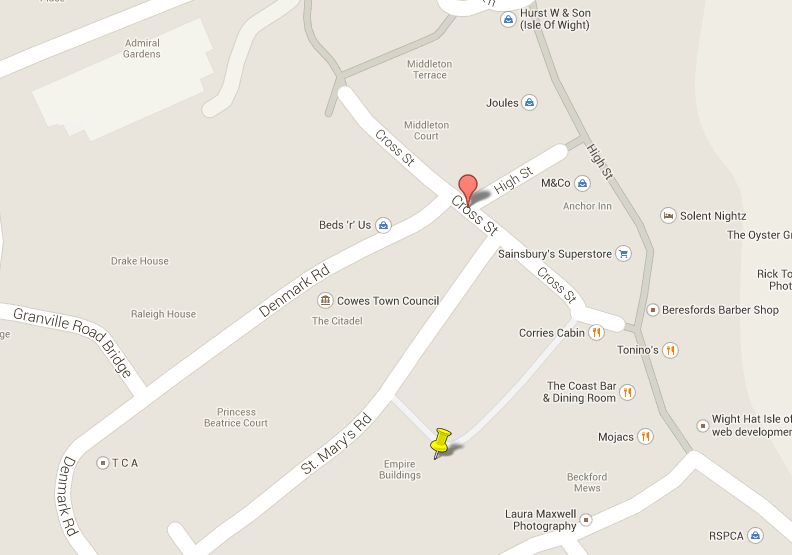
– Cross St Car Park, Cowes
– Well Rd, East Cowes
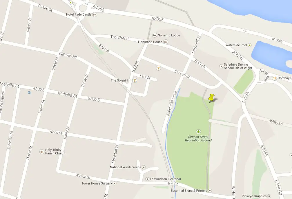
– Simeon Recreation Ground, Ryde
No mention of these two today (8th Jan 2015)
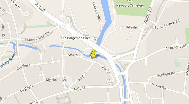
– Sea St, Newport (Added 10 Oct 14)
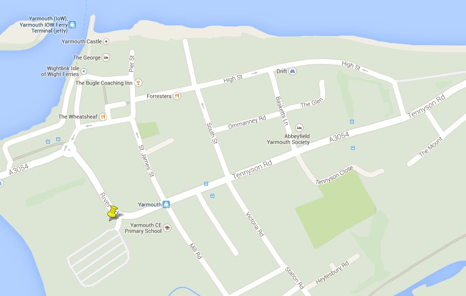
– Bridge Rd, Yarmouth.
The actual location in East Cowes depends on the severity of the flooding. Usually they are placed by the small roundabout as you come off the Red Funnel ferry. If that area floods, they are relocated to outside the Co-Op.
Interactive map
View Sand bag locations, Isle of Wight in a larger map
Static maps
Below are the sand bag location maps (marked with a yellow pin), so in case you don’t want to interact with the map above. You can click on any of them to see a larger version.
Cowes map
East Cowes map

Newport map
Ryde map
Yarmouth map
All image: Google Maps