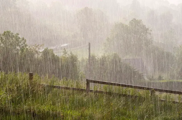
It’s winter, so of little surprise to hear the Isle of Wight is in for a wet and windy week ahead.
The Met Office have today issued two severe weather warnings, one for wind and the other for rain, and the Environment Agency have issued a warning of the risk of localised flooding.
Heavy rain
From 1400 on Mon to 0900 on Tuesday 13 Jan:
A spell of persistent, and at times heavy rain is expected to develop across the far south and southeast of England on Monday afternoon, this then lasting into Tuesday morning, before clearing away to the southeast.
The public should be aware of the risk of disruption to travel from standing water or localised flooding.
An active cold front is expected to come southeast across England through Monday before stalling across the far south and southeast. Rainfall here is likely to become persistent and at times heavy, leading to 15-20 mm widely in the warning area, with as much as 30 mm locally. This may lead to flooding either from standing water or fast responding streams and rivers
Strong winds
Valid from 1500 on Wednesday to 0600 on Thursday.
A deepening area of low pressure is expected to track across the UK during Wednesday and into Thursday. To the south of this system, gales or severe gales are expected to develop. Wind gusts of 50-60 mph are likely quite widely through the warning area, whilst gusts of 75 mph are likely around southern and western coasts and over exposed hills.
The public should be aware of the risk of localised disruption to transport and possibly power supplies.
Another Atlantic low pressure system is expected to deepen significantly as it tracks towards the UK. Unlike its predecessors, this system looks like taking a more southerly track, with the greatest risk of gales or severe gales being across Wales. England and parts of Northern Ireland. The strongest winds will be in southern and western exposure, where severe gales are likely. As well as the very strong winds, a band of squally rain is also likely to push southeast across England and Wales through the period.
The exact track of this system is still open to some uncertainty, and it is likely that this warning will be reviewed in the coming days to adjust the areas most at risk and also likely impact.
Risk of Flooding
The Environment Agency say there is a medium likelihood of minor river and surface water flooding on Monday and Tuesday in the south-east of England and into Thursday, bringing a LOW flood risk at times.
Strong winds and large waves bring the potential for spray and wave over topping of defences along the coasts of southwest England, parts of Wales and the English Channel on Wednesday and Thursday. This brings a LOW overall coastal flood risk to parts of the Dorset coast.
If you need sandbags, see our guide of where to find sandbags on the Isle of Wight.
Image: N Tackaberry under CC BY 2.0


