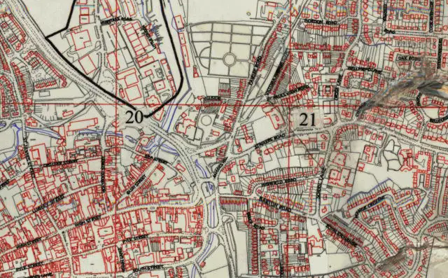
The council say this new maps will help you find basic historic planning details. Ed
Special maps are being launched online by the Isle of Wight Council to make it easier to locate historic planning information.
Individuals and developers will be able to click on locations on the maps to identify basic planning histories of sites. They will also be able to quickly find reference numbers to obtain more detailed planning application and consent/refusal information.
Basic details revealed
The maps will show the area covered by a planning permission, and the reference number will indicate if an application has been withdrawn or a decision appealed against, or if there is enforcement action. Listed buildings will also be indicated.
The new facility, which is being introduced from this month (April), is designed to make finding planning information far easier for homeowners, housebuyers, planning and building professionals, and other users.
The council has planning records dating back to the late 1940s*, which are often difficult to find as they are not all stored digitally and available online. The new maps will make locating these records and making appointments to see planning files far easier.
The new maps will be available online.
Feedback from residents led to improvements
Executive member for planning, Councillor Julia Baker-Smith, said:
“This improvement to our online planning service is being introduced following feedback from the public on how we could make it easier to access historic planning information. We hope the new map-based approach will make a real difference.
“It’s really interesting to see the first application that we received from 1948, and the type of applications our past colleagues would have received. These days applications are a little more precise in their request for planning consent than to simply ‘erect a house’; and having the historic information more easily accessible, it can be used (where necessary and relevant) to better inform future planning applications.”
(* The earliest planning application the council has records for dates back to July 1948 and related to refusal of permission to erect a house in Leeson Road, Ventnor, although these issues were obviously overcome as a property now exists on that site.)
Image: © Isle of Wight Council