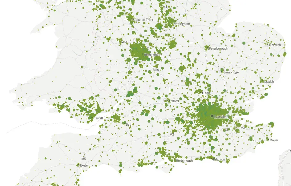
The Office for National Statistics (ONS) has launched a new interactive map that allows you see how many Coronavirus (Covid-19) deaths have occured in your postcode.
The Isle of Wight has total of 78 recorded deaths occurring in the period March to June 2020, where Covid-19 was mentioned as a cause on the death certificate.
The interactive map reveals that Freshwater and Yarmouth have recorded the highest number of deaths (18).
Gurnard and Cowes (17), followed by Shanklin (11), Sandown (eight) and Binstead and Wootton (five) see the next highest numbers.
Newport, the county town, has just three recorded deaths due to Covid-19.
Head over to the ONS Website to use the interactive map (deaths occurring in the period May to May 2020).
Our thoughts are with all the families who have lost loved ones to Coronavirus.
Government Covid-19 guidance: Stay alert and stay safe
Wash your hands thoroughly and frequently (video tips).
Social distancing
It is recommended that you maintain at least a two metre gap (about 6.5ft) from people who are not from your household.
Seeking advice
Use the NHS 111 online coronavirus service that can tell if you need medical help and advise you what to do.
Thanks to Vix Lowthion for the heads up.