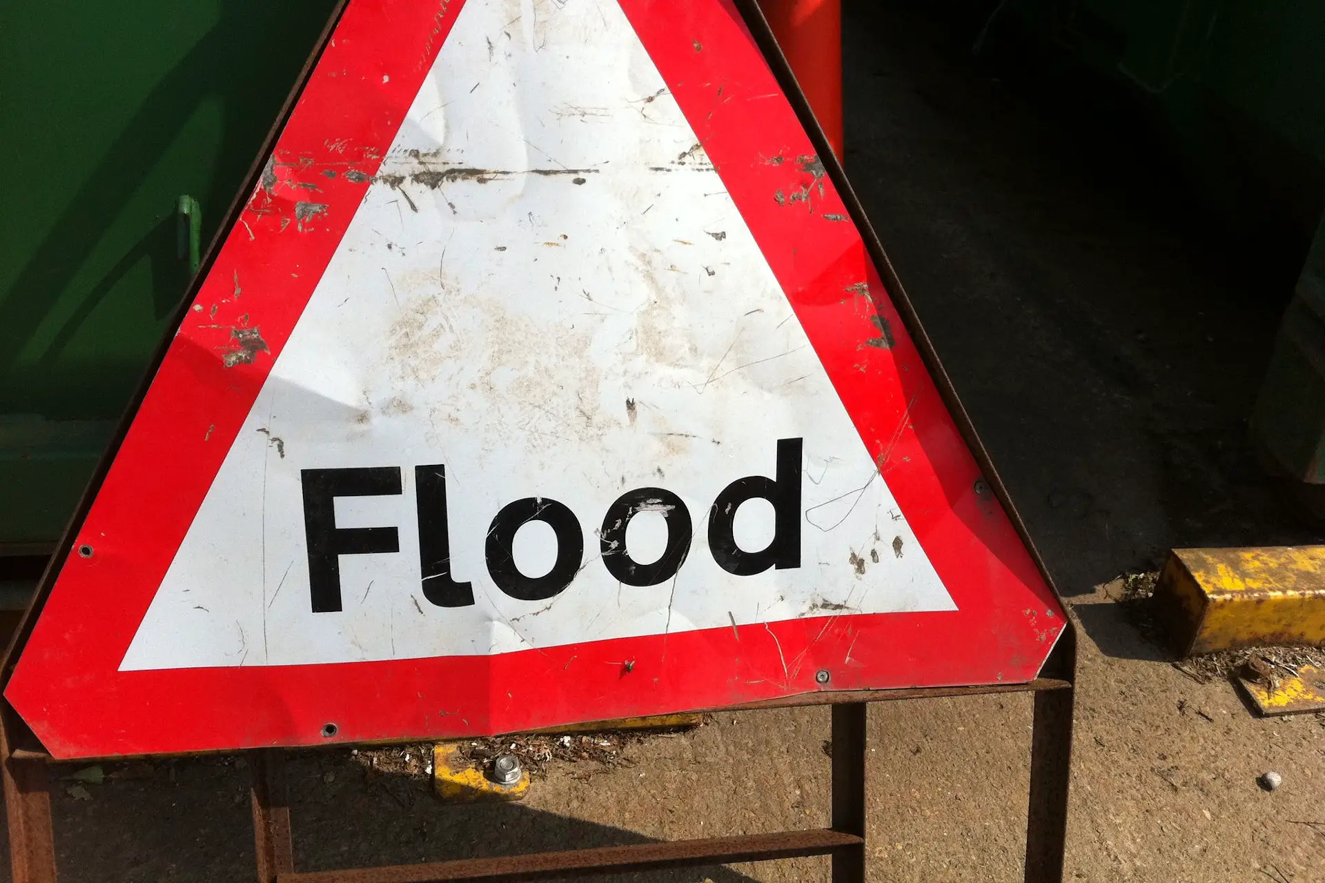
Like many across the South of England, Islanders are waking up this morning to the aftermath of torrential rain.
Countless posts could be seen on social media of homes being flooded and stories of horrendous driving conditions, meaning some roads became impassable.
Potential for up to 100mm of rain
The Met Office did warn us last week of the impending heavy rain, saying there was a potential for up to 100mm of rain in some places.
According to the Isle of Wight Met Service last night Newport (Staplers) had the highest rainfall on the Island with 65.81mm.
This was followed by Havenstreet with 61,47mm, Ryde Town with 54.10mm, Elmfield (Ryde) with 53.09mm and Godshill with 51.05mm.
Flood Alerts
Last night the Environment Agency also issued flood alerts for Monktonmead Brook at St Johns Road, St John’s Station and Park Road, as well as the Eastern Yar and tributaries from Whitwell to Bembridge.
Arriving in the evening after much of the rain had already hit they read:
Flooding is expected for: Monktonmead Brook at St Johns Road, St John’s Station and Park Road.
Immediate action required.
The water level in the Monktonmead Brook continues to rise. 55mm was recorded in just four hours at Ryde this afternoon, this is over a month’s rain. This evening, at St John’s Station, water could flow from the railway tracks into the main buildings at the station depot. It could also flood outbuildings and plant and vehicles near Park Road. Heavy rain may continue to affect the area over the next 5 hours with the possibility of a further 30mm tonight. With further rain, water levels may not fall until at least 06:00 (26/07/2021) with flood impacts continuing until then. Flood water across the railway tracks and in buildings could be very deep.
Our operational staff are in the area working to keep the river clear of blockages. We continue to monitor the forecast. Please take action to protect property and consider moving vehicles away from low lying areas and depots next to the railway line.
10am Update – no longer in force
At St John’s, water levels in the Monktonmead continue to fall. In addition to impacts at St Johns Train Station, exceptionally intense showers caused widespread surface impacts in Ryde and Binstead yesterday (25/07/2021). In total, over 60mm was recorded at Ryde rain gauge over 8 hours. 40mm of that rainfall fell in just 1 hour between 16:00 and 17:00.
Today (Monday 26/07/2021) it is possible that some heavy showers could affect the Isle of Wight, although confidence is very low.
If further heavy rain does affect the river today, then we may have to issue further advice.
Eastern Yar
Flooding is expected for: Whitwell, Wroxall, Horringford, Langbridge and Alverstone on the Eastern Yar.
Immediate action required.
The water level in the Eastern Yar is high and rising. In the last 12 hours, 70 mm of rain has been recorded at Knighton. This is more than a month’s rain in a very short period of time.
Currently, flooding is affecting land, footpaths and cycle tracks along the Yar Valley. Over the next 2 hours, the river will begin to flood gardens in Langbridge and Alverstone. It will also flood the access track at Horringford.
From 05:00 Monday morning (26/07/21), the river will be exceptionally high and at this time, it could begin to impact property in Alverstone and Langbridge. Rain has now cleared the area. Upstream at Budbridge, the river peaked at 20:15. At Alverstone and Langbridge, the river could continue to rise until approximately 08:00 Monday morning (26/07/21). We continue to monitor the forecast, and will ensure the river is free of any reported blockages. If you have pumps and flood protection, we recommend installing it now.
As of 7.57am Monday morning, the Flood Alert is now updated with the following:
The water level in the Eastern Yar is high and at Alverstone, continues to rise. Yesterday, more than a month’s rain (70mm), was recorded at Knighton. At Wroxall, totals were less at 52mm. The river is flooding gardens in Langbridge and Alverstone, the main road at Alverstone and access tracks at Horringford. The rate of rise is now slowing, currently at 1.5cm per hour.
This morning (Monday 26/07/2021) some showers are forecast, but these will only bring a small amount of rain (5mm). If showers do affect the Eastern Yar, it will not alter the current situation significantly.
We expect the river will peak around 09:00 today, it could rise another 3cm in that time. Whilst flood water is surrounding property, it is possible that internal flooding could just, by the smallest margin, be avoided, with impacts being more similar (but a little deeper) to those recorded at the end of June.
We continue to monitor the forecast. If you have flood protection, we recommend leaving it in place until later this afternoon.
10am update
The Eastern Yar is high and continues to rise. Yesterday, more than a month’s rain (70mm) was recorded at Knighton. A Flood Warning is in force at Whitwell, Wroxall, Alverstone and Langbridge. In Langbridge, the river is flooding gardens. In Alverstone, the river is flooding gardens, cycle tracks and the main road. In both villages, water will have come very close to flooding property. Today (26/07/2021), minor impact flooding of Golf links road is also expected.
At Alverstone, the water level is just peaking. At Sandown, it will continue to increase until at least 18:00 this evening. We do not expect property flooding in Sandown. It is now possible that some heavy showers could affect the Isle of Wight today. If further heavy rain does affect the river, then it could cause property flooding in Alverstone and Langbridge. We will continue to monitor the forecast.
Please avoid walking or driving through flood water.
Our thoughts are with all those who now have a clean-up on their hands.
Article edit
7.57am 26th Jul 2021 – Updated alert for Eastern Yar
10am 26th Jul 2021 – Updated alert for Eastern Yar
Image: howardlake under CC BY 2.0