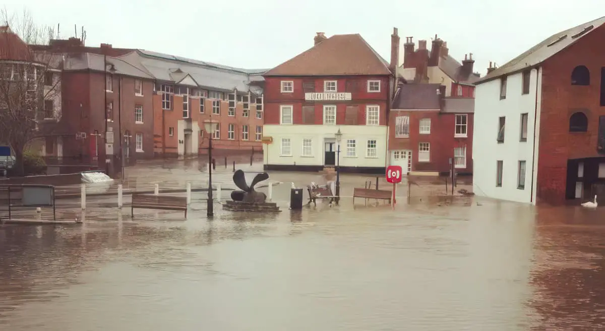
Image shows flooding at Newport Quay in 2012 © Dean Julian
The Environment Agency (EA) has today (Thursday 18th Dec 2025) issued a number of flood alerts and warnings for the Isle of Wight.
Carisbrooke and Hunny Hill on the Lukely Brook
At 2pm they issued a flood warning for Carisbrooke, Hunny Hill and Newport Quay Arts Centre on the Lukely Brook. The alert reads:
High river levels are expected to cause flooding on Thursday.
Flooding is expected on 18th December 2025 from 14:00, as a lot of rain (34mm) fell today.
The Aquatics Centre at Vicarage Walk, near Foxes Road, will flood. Water levels will be very high at Caesars Road and Old Westminster Lane, and the river could come out of bank flooding roads and parked cars.
Rain is forecast to continue until 16:00 on Thursday 18/12/2025. River levels and flood risk should begin to reduce in Hunny Hill by 18:00 on 18/12/2025.
We are checking rivers for blockages. Activate any flood protection products you may have.
Gurnard Luck
At 5pm the EA issued a flood alert for Gurnard Luck, Gurnard. The alert reads:
High river levels on Thursday may lead to flooding.
Flooding is possible on 18 December 2025 from 19:00, as a lot of rain (34mm) fell on Thursday.
Flooding could affect gardens or properties nearest to the river in Marsh Road. Property flooding is not expected. Only a small amount of rain is forecast over the next 2 days. River levels and flood risk should begin to reduce in Gurnard by 02:00 on 19/12/2025 after tonight’s high tide.
We are monitoring rainfall and river levels and will ensure the river is kept free of reported blockages.
Avoid low lying roads near rivers, which may be flooded Including Marsh Road, Gurnard.
Eastern Yar
The EA issued a flood alert at 5.25pm for Eastern Yar and tributaries from Whitwell to Bembridge., The alert reads:
Flooding is possible for: Eastern Yar and tributaries from Whitwell to Bembridge
High river levels on Thursday may lead to flooding.
Flooding is possible from the evening of 18 December 2025 from 23:00, as a lot of rain (32mm) fell on Thursday.
Flooding could affect low lying land, roads, cycle tracks and footpaths close to the river. At Langbridge and Alverstone, the river will be close to bank full. Flooding of Golf Links Road and Moreton Common Road may occur from 06:00 on 19/12/2025. Ditches around Fort Holiday Park will struggle to drain while river levels are high. Only a small amount of rain is forecast over the next 24 hours. River levels and flood risk should begin to reduce in Alverstone by 03:00 on 19/12/2025, and in Sandown by Friday afternoon on 19/12/2025.
We are monitoring rainfall and river levels and will ensure the river is kept free of reported blockages.
Consider activating any flood protection products you may have, including in Alverstone.
You can check any flood alerts by visiting the Environment Agency website.