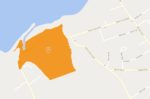
There has been a lot of rain again overnight and the Environment Agency have issued another Flood Alert for the Eastern Yar.
It reads:
Flooding is possible for: Eastern Yar and tributaries from Whitwell to Bembridge.
Be prepared.
The water level in the Eastern Yar is high and rising. In the last seven hours, 20mm of rain has been recorded at Knighton. More than half a month’s rain has fallen in the last two days.
From 12:00 this afternoon (09/08/21), water levels will become noticeably high at Alverstone, rising near to the top of the river bank. Some minor out of bank flooding may also occur in fields at Langbridge.
We do not expect access issues to Horringford or impacts at Sandown.
Property flooding is not expected.
Showers will continue to affect the Island until at least 15:00, with up to 5mm expected. The river should peak around 13:00. However, additional rain from this morning’s showers, will impact on the rate of fall, and water levels may remain high until mid-afternoon.
Tomorrow (10/08/21) the weather will be drier, and flood risk will reduce. We will ensure the river remains free of any reported blockages. We continue to monitor the forecast. Pumps used to protect gardens from flooding may need to operate.
You can follow the flood alert by visiting the EA Website.
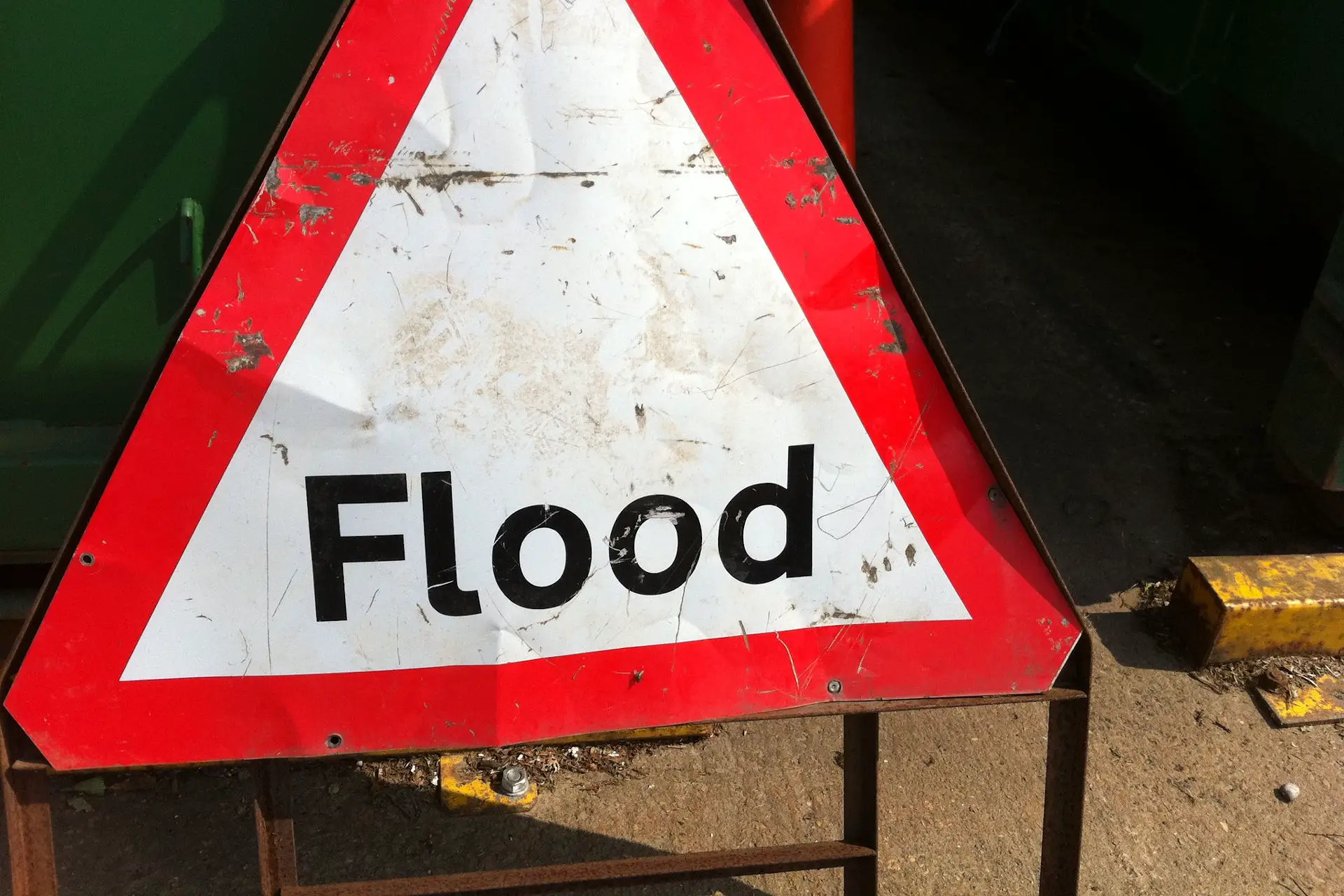
Image: howardlake under CC BY 2.0