Following the creation of a residents’ campaign group to ‘Save our Military Road’ and the closure of footpath F35 near Afton Down due to a void appearing in the verge, the leader of Isle of Wight council has offered an assurance about the stability of the road.
Councillor Phil Jordan, said,
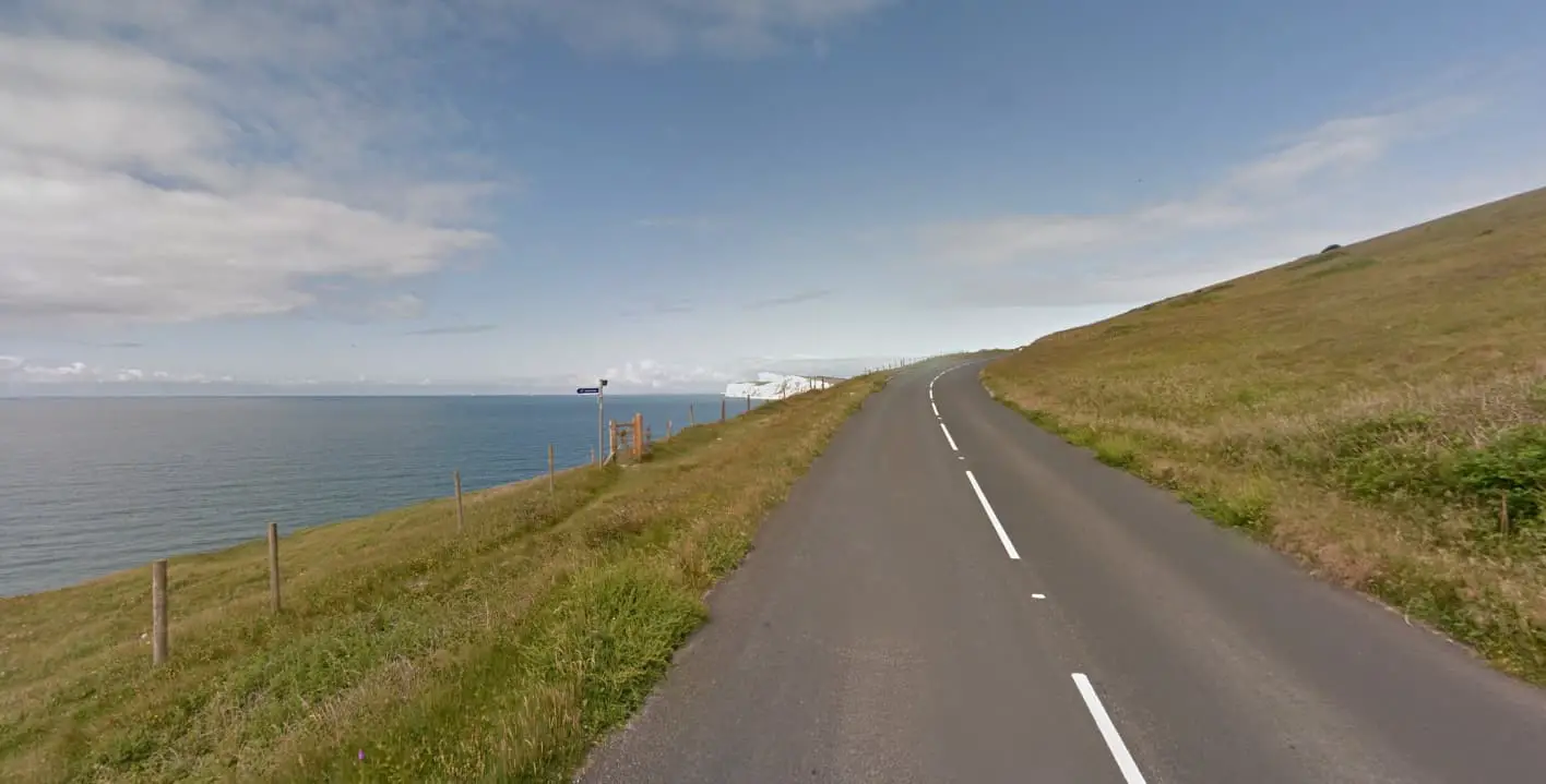
“As local residents will be aware, we are experiencing the real effects of geological erosion on the Military Road (the A3055). There are three specific sites – the cliff top along Compton Down (Afton Down), and two sites between Brook and Compton Farm.
“The road along Afton Down is currently considered to be relatively stable. Work was carried out in the late 1990s which included ground anchors and 27 metre piling into the chalk underneath the road to protect it from the eroding cliff face.”
Other parts a concern
However, the council are more concerned about the section between Brook and Compton Farm.
Councillor Jordan explained,
“The more immediate concern is the erosion taking place between Brook and Compton Farm, known as Sites 14 and 15.
“This is being caused by natural coastal erosion, and water coming off the downs and forming chines by wearing down the soft clay and orange Wealden rock.
“This erosion process also provides the sand for our beaches at Shanklin and Sandown.”
Land protected by special designations
The Military Road is the responsibility of the Isle of Wight council as the highway authority. However, the surrounding land and the land underneath is of mixed private and National Trust ownership.
Many parts of this stretch of the road are Sites of Special Scientific Interest (SSSI) and Special Areas of Conservation (SACs), and it is within the designated Area of Outstanding Natural Beauty (AONB).
The Shoreline Management Plan produced by the council in partnership with the Environment Agency identifies the whole area as a ‘no active intervention’.
Planning application rejected
Readers will remember that Island Roads submitted a planning application for a short-term solution for Site 14, but this was refused by the council’s Planning Committee.
Their decision was “based on the above policy considerations and related objections from the National Trust and Natural England”.
Re-routing the road
The council leader went on to suggest a potential alternative option of rerouting this stretch of the road inland, to guarantee the route for a further 20 years or more.
He said the council has had positive discussions with the National Trust regarding relevant land in its ownership and have approached the relevant government departments for their views on the rerouting option and the availability of funding for such works.
Rough estimates suggest a figure of more than £20 million would be required to deliver this solution.
Public meting in Brook
A public meeting has been organised by the councillor for Brighstone, Calbourne and Shalfleet, Nick Stuart.
It will take place at 4pm, at Seely Hall, in Brook, on Sunday, 11th February 2024.
Leeson Road
The council leader also spoke about the situation in Bonchurch, which witnessed one of the largest landslides of its kind on the south coast of England.
Leeson Road, which connects Shanklin with Bonchurch, is still closed due to the landslide in December 2023.
Councillor Jordan explained,
“The council has commissioned an independent landslide investigation and risk assessment of the affected area. In parallel to the council study, Island Roads has also commissioned engineers to assess the feasibility of opening of part or all of the road.
“The local community will be updated once the information on the two studies becomes available.”
Public meeting in Ventnor
The council will be holding a public meeting in Ventnor to update local residents on Thursday 29th February at 6pm.
The meeting will be held at St Catherine’s Church and will also include updates on Ventnor Eastern Esplanade, The Environment Agency’s Ventnor Coastal programme and Island Roads progress on the Rene Howe Walk (the Cascades).