Historic England have launched a fantastic new free to use service that could keep you occupied for hours.
Through the new Aerial Photo Explorer you can explore over 400,000 digitised photos taken from their aerial photo collections of over six million photographs preserved in the Historic England Archive.
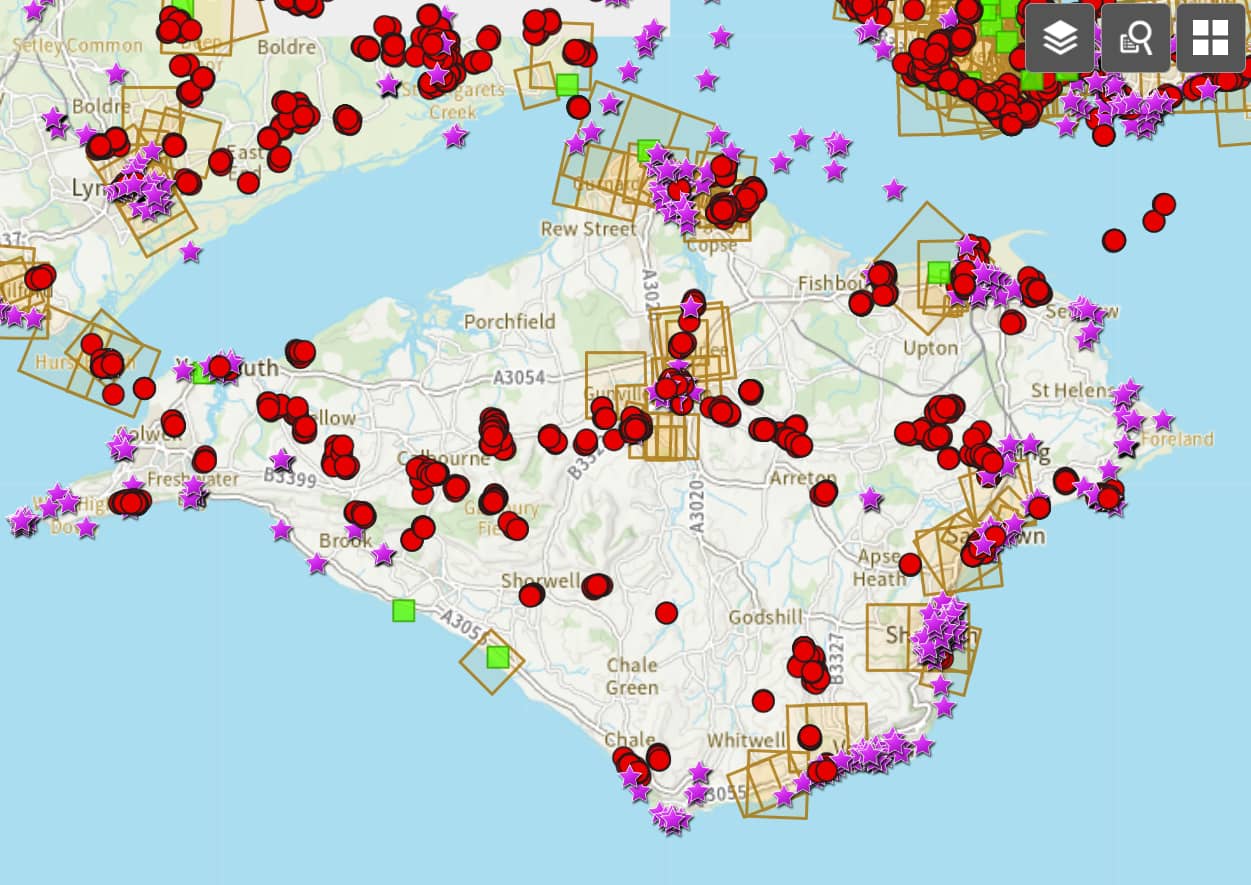
A veritable rabbit hole
The site was sent to us by Benjamin Tonner, a long-time contributor to the VB Flickr Pool (which now has over 38,000 photos). He described it as a veritable rabbit hole and once you start looking around, that’s exactly how it feels.
Check it out yourself
Check out the historic aerial photos of where you live, where you lived before, where you went to school, or where you spent childhood holidays.
Simply move around the map on the Historic England Website and click on the purple stars to see the historic photos.