As the Japanese knotweed growing season progresses, new data highlights the Isle of Wight as one of the worst affected areas in England.
Invasive plant specialists Environet have released updated figures from their online tracker, Exposed: The Japanese Knotweed Heatmap, which now includes over 100,000 verified reports across the country.
| Rank | Location | Total incidences |
|---|---|---|
| 1 | Shanklin | 79 |
| 2 | Newport | 78 |
| 3 | Ventnor | 66 |
| 4 | Bembridge | 49 |
| 5 | Ryde | 36 |
| 6 | Sandown | 31 |
| 7 | Cowes | 30 |
| 8 | Freshwater | 29 |
| 9 | East Cowes | 25 |
| 10 | Brading | 11 |
Eighth worst in England
The Isle of Wight currently has 554 confirmed sightings of Japanese knotweed, equating to 3.77 cases per square mile.
This places the Island eighth on the list of worst-affected counties in England.
| Rank | County | Total Incidences | Incidences / mi² |
|---|---|---|---|
| 1 | Bristol | 1,440 | 33.91 |
| 2 | Merseyside | 2,963 | 11.87 |
| 3 | Greater London | 4,687 | 7.74 |
| 4 | Lancashire | 8,612 | 7.25 |
| 5 | Greater Manchester | 3,558 | 7.22 |
| 6 | Isle of Man | 982 | 4.45 |
| 7 | Channel Islands | 301 | 3.94 |
| 8 | Isle of Wight | 554 | 3.77 |
| 9 | Derbyshire | 3,427 | 3.38 |
| 10 | Nottinghamshire | 2,091 | 2.51 |
| 11 | West Midlands | 811 | 2.5 |
| 12 | Surrey | 1,050 | 1.64 |
| 13 | Tyne & Wear | 292 | 1.4 |
| 14 | Hertfordshire | 867 | 1.37 |
| 15 | Cheshire | 1,218 | 1.35 |
| 16 | Worcestershire | 723 | 1.08 |
| 17 | Cornwall | 1,254 | 0.91 |
| 18 | East Sussex | 616 | 0.89 |
| 19 | Shropshire | 1,193 | 0.89 |
| 20 | Bedfordshire | 415 | 0.87 |
The heatmap allows members of the public to check the number of reports near their own home by entering a postcode. It uses a colour-coded system, from yellow to red, to highlight levels of risk.
Sightings can also be reported through the map, including the option to upload a photograph for expert verification.
A plant with a destructive legacy
Japanese knotweed first arrived in Britain during the Victorian period as part of a shipment of plant specimens to Kew Gardens.
It was widely planted by gardeners and horticulturalists, unaware of its invasive tendencies.
Now found across the country, the average density in England is 1.1 reports per square mile.
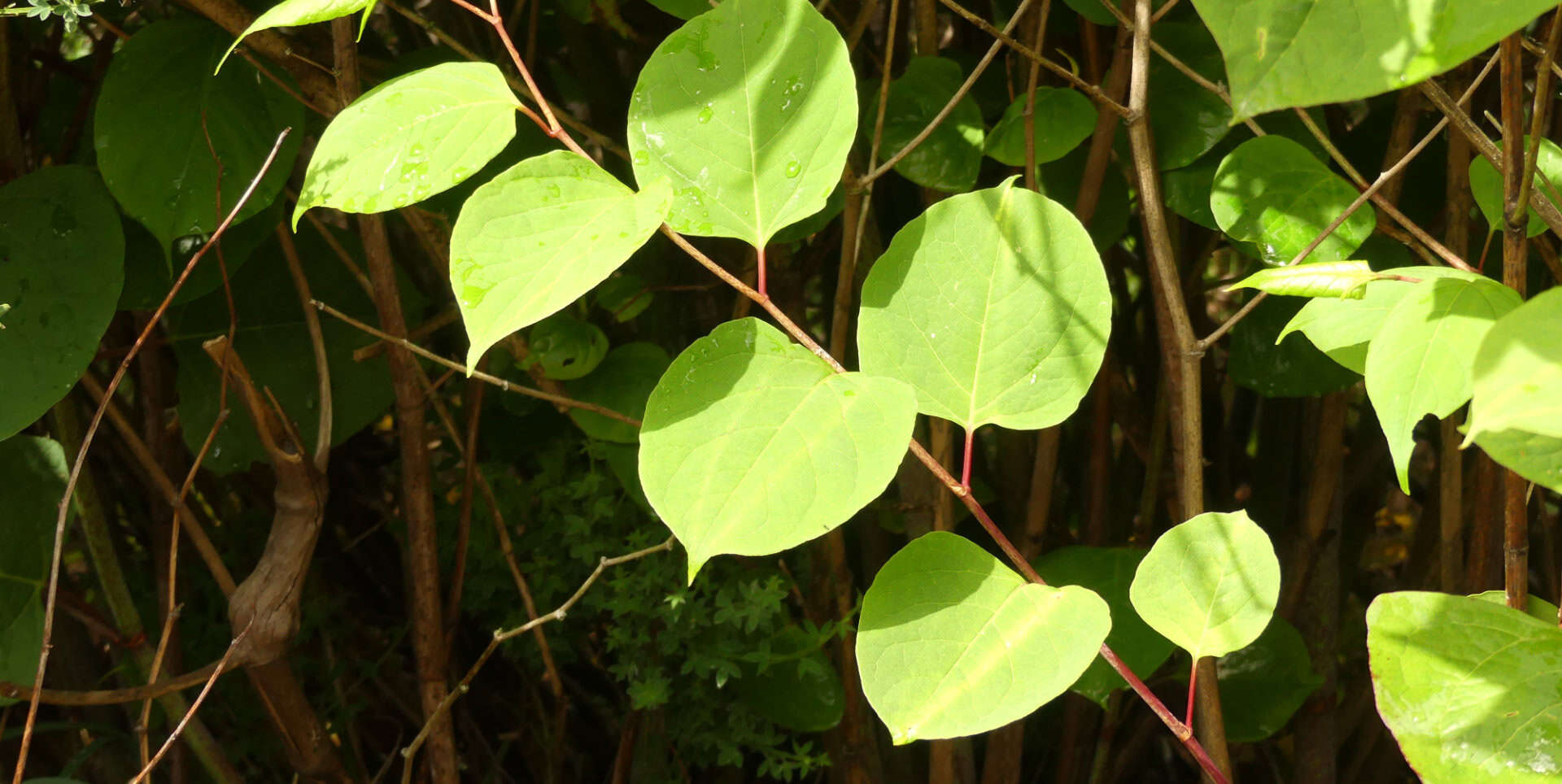
The plant begins emerging in early spring, growing quickly into tall, bamboo-like stems with heart-shaped leaves and small pink speckles.
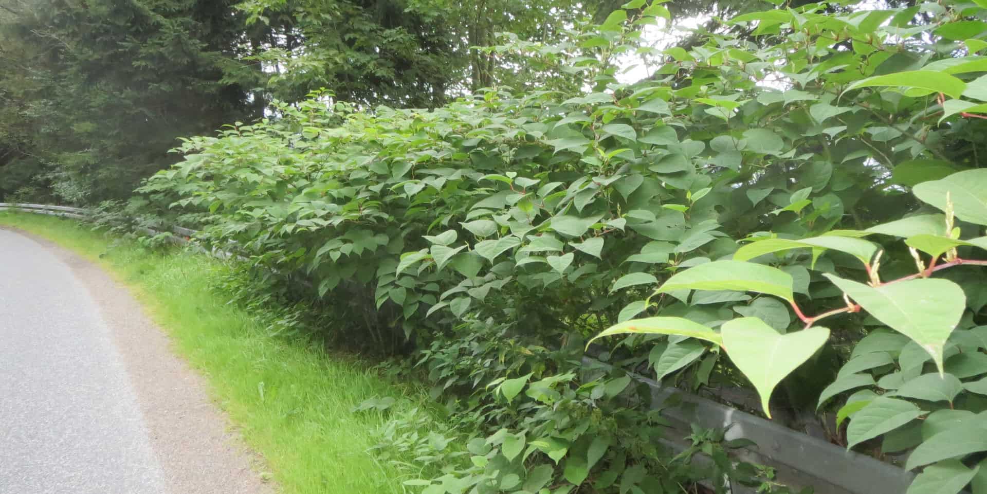
Its underground rhizomes can spread widely and even penetrate through concrete and building foundations.
While significant structural damage is uncommon, its presence can reduce property values and complicate sales.
A 2023 DEFRA report estimated that Japanese knotweed costs the UK economy nearly £250 million each year to manage.
Advice from Environet
Emily Grant, Director at Environet, said,
“By mapping verified sightings, we’re helping people understand the level of risk in their local area and encouraging early identification and treatment.”
She added,
“Vigilance is the best way to protect your property from Japanese knotweed, making sure you tackle it as early as possible before it becomes well established.”
She encouraged Islanders to look out for the plant’s distinctive bright green leaves growing in a zigzag pattern. Mature plants will begin to flower around August, producing clusters of tiny white blossoms.
Free identification and community effort
Homeowners who suspect they have Japanese knotweed can email a photo to [email protected] for free identification.
If the plant is confirmed, Environet can provide a survey to assess the extent of the infestation and recommend appropriate treatment, including excavation or herbicide application.
Emily Grant said,
“Public engagement is key in the fight against knotweed, and by reporting new sightings homeowners can play an important role in controlling this invasive plant and protecting property values.”
Visit the Exposed: The Japanese Knotweed Heatmap to see how your area is affected.