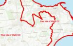
The Environment Agency warns of flooding to properties on the Isle of Wight after another night of heavy rain.
They have issued a flood alert for the Eastern Yar, and tributaries from Whitwell to Bembridge, advising residents to ‘be prepared’.
Roads affected too
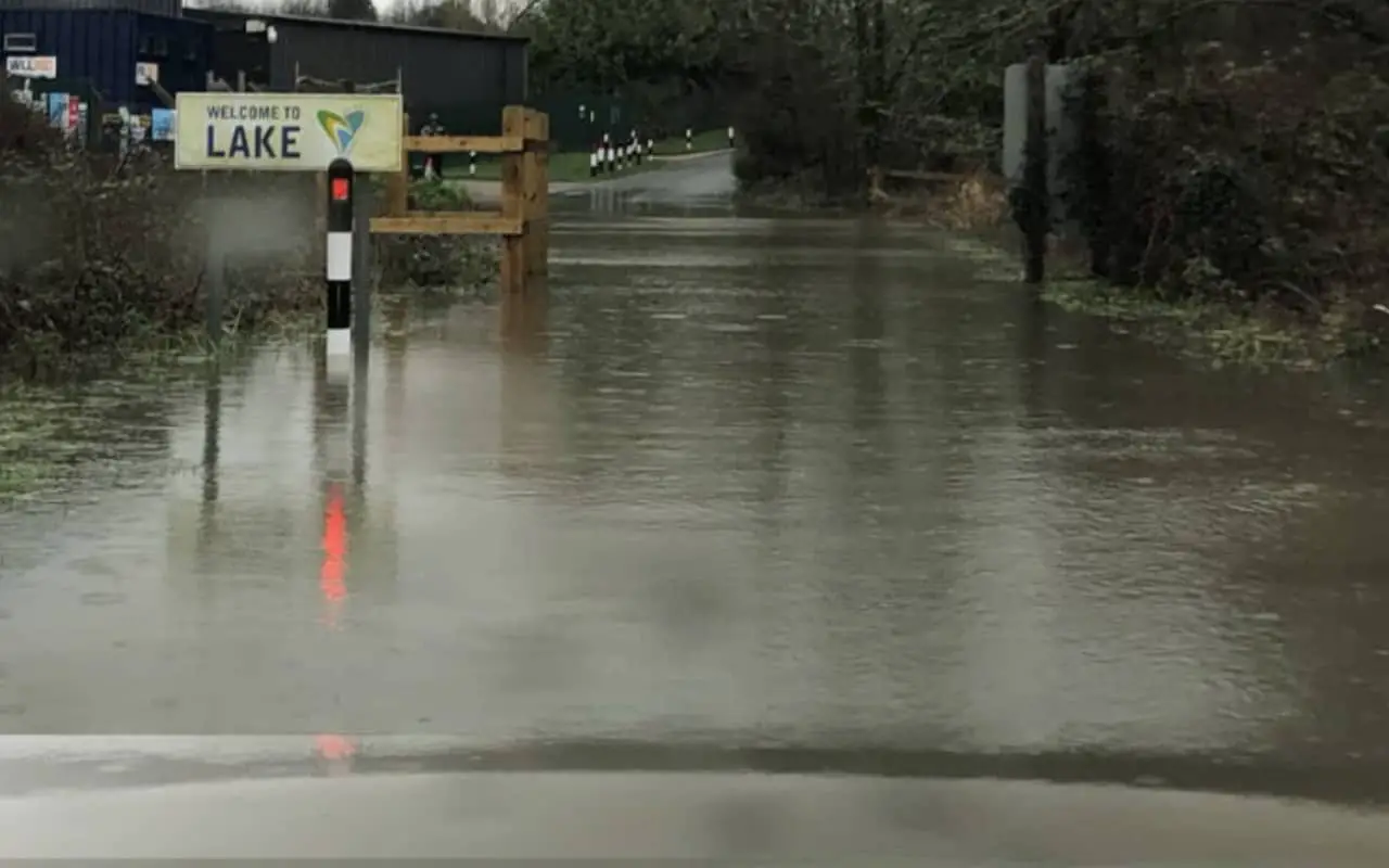
However, it’s not just properties that will be affected, as several roads are expected to flood too.
Island Roads say Avenue Road, Sandown has been closed from the traffic lights to the petrol station, due to flooding.
The Flood Alert
The flood warning reads:
The water level in the Eastern Yar is high and rising. 33mm of rainfall has been recorded at Wroxall in the last 24 hours.
Following on from this week’s earlier rain, this is a significant amount.
From 14:00 (06/11/22), the river will come out of bank at Whitwell High Street and Langbridge.
It will restrict access to Horringford and be close to the top of the bank at Alverstone.
The river will currently be flooding Golf Links Road and Moreton Common Road.
Ditches around Fort Holiday Park will struggle to drain while river levels are high. Further rain (up to 14mm) is forecast today (06/11/22).
At Alverstone, the river won’t peak until late this evening, and could potentially flood properties before this time.
At Sandown, the river will not peak until tomorrow morning (07/11/22).
We’ve altered Bembridge sluice so that more water flows to sea in between high tides. We continue to monitor the forecast.
If you live near the river, please take action to protect your property.
This message will be updated at 17:00 on Sunday 06/11/22, or sooner if we think property flooding will occur.
To stay up to date with the flood alert, visit the EA Website.