Thanks to Richard from the Ventnor and Undercliff Heritage Partnership for sharing details of these new Heritage Trail walks. Ed
Two heritage trail leaflets are now available that use buildings in the village to explain some of its history, from the twelfth century church, to the remains of the RAF radar station – constructed in the last world war to predict air attacks across the channel.
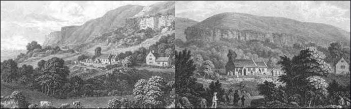
The nineteenth century predominates, as this was a period of rapid development in the Undercliff, and significant buildings from that time are included such as the new church, the school and the railway station.
Varying lengths
The Village trail takes about two hours, which includes time to spend in the fascinating St. Lawrence churches. The Coastal trail is 3.4 miles (5.4k) and offers some of the best views of village buildings, as well as a fine, bracing coastal walk.
The trail leaflets have maps of the routes and descriptions of the buildings. Some photographs are included when there is no remaining evidence of what had been there.
Download your copy
Compiled by Richard Downing, the leaflets are published by the Ventnor and Undercliff Heritage Partnership (VUHP) and can be downloaded and printed out from the following Websites:
Ventnor and Undercliff Heritage Partnership (which also has lots of great heritage about the area)
Or St. Lawrence Community Association (which also has lots of village info).