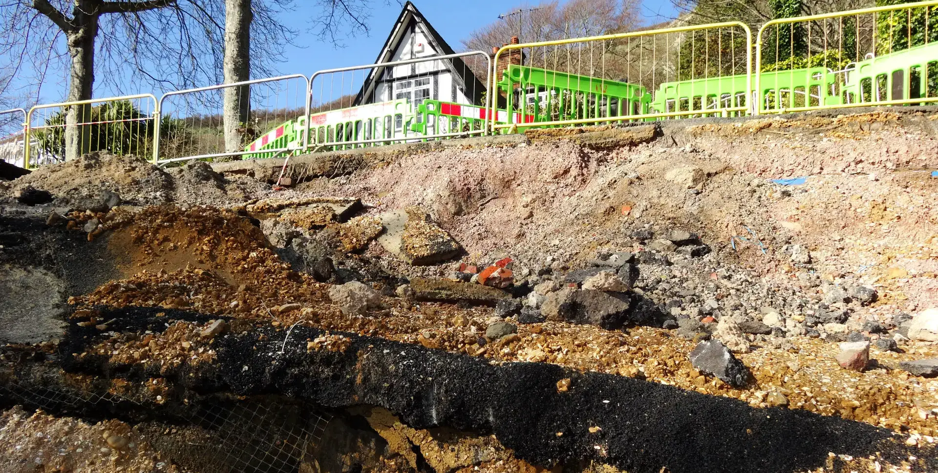
The night of Wednesday (7th) and morning of Thursday (8th) mark the tenth anniversary of the 2014 Undercliff Drive landslide, when 11 homes on the road between St Lawrence and Niton were left land-locked by road collapses.
The Undercliff Drive landslide had a devastating impact on the families in the 11 homes, with many being forced to leave their homes (for what resulted to be years), in order to ensure they had access to emergency medical care.
Challenging times
One home in the area was condemned by the council forcing the family to leave immediately.
The neighbouring homeowners said they were told by the Army that, in their view, their home should also have been condemned, but wasn’t officially.
For the families who remained in their homes, access was incredibly challenging and initially only via a very narrow road from the west.
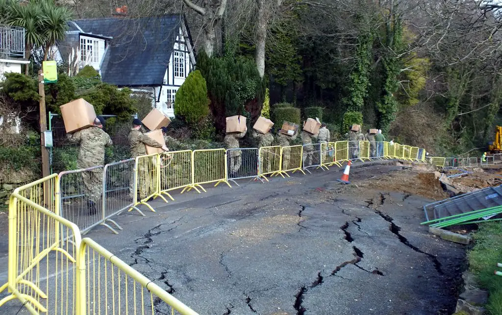
For those who evacuated, it would be several years – living out of boxes – and many moves around temporary homes before they could return. The time was described by residents as a ‘living hell’.
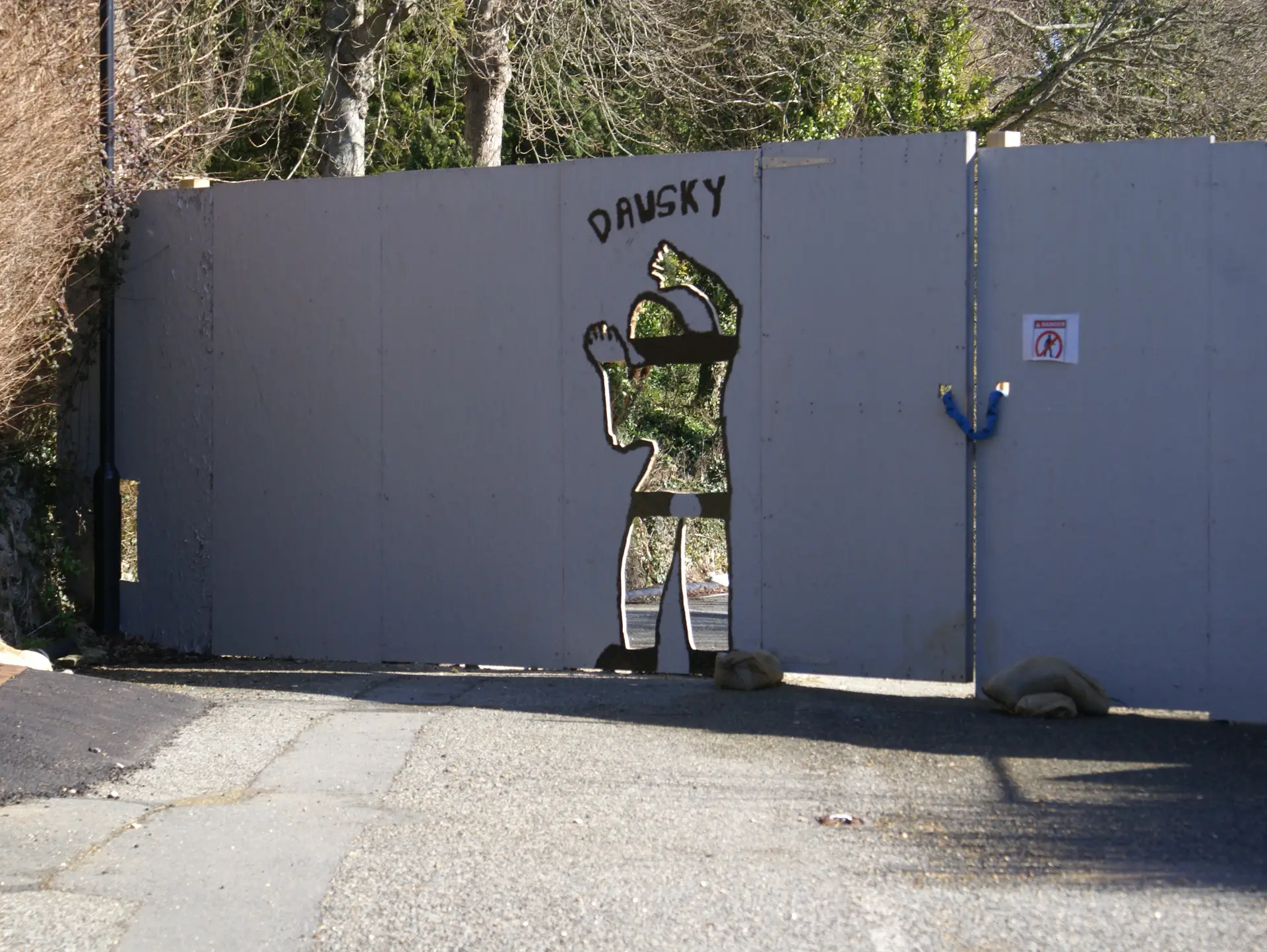
Once the homes were evacuated, access from the east was boarded up and padlocked.
That is until someone cut a life-size human shaped hole dubbing it ‘Dawsky’.
Huge losses and long-running battles
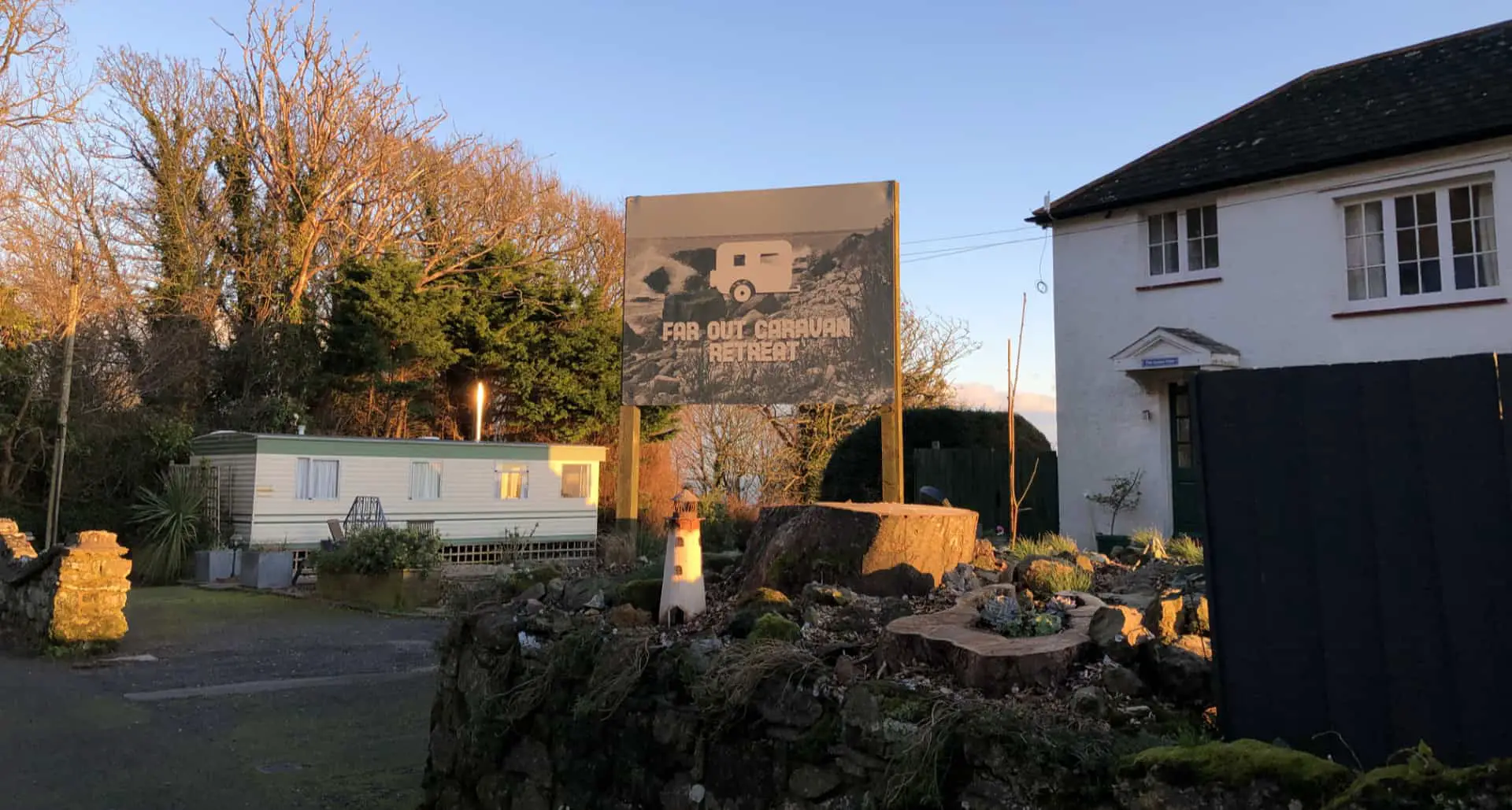
The landslide also saw the demise of the popular Undercliff Glen Caravan Park.
The owners suffered huge losses, having to engage in long-running battles over council tax, utilities, business rates and all the while, not being able to operate their business.
The site was recently sold and is being run by a new owner as the ‘Far Out Caravan Retreat’.
Major engineering works
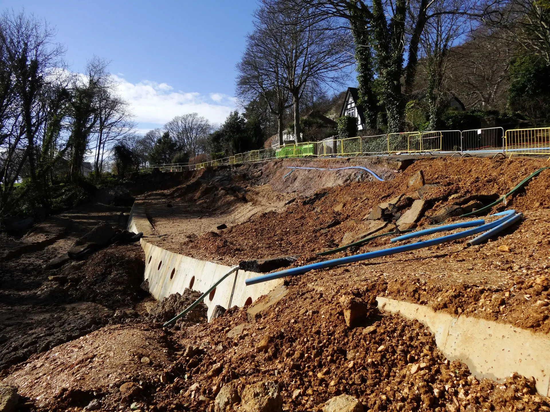
The 2014 landslide occurred at the same time major engineering works were being carried out by the highways PFI contractor, Island Roads, on either end of the land-locked area.
This work was taking place despite an incredibly wet autumn and winter, and an FOI request revealed ‘very high risks’ being recorded in a technical report.
Largest urbanised landslide complex
The 7.5 miles stretch from Bonchurch to Blackgang is the largest urbanised landslide complex in North-western Europe.
According to experts, regardless of the groundwater conditions, there is a “long-term creep” of the landslide at rates of about 5 to 10 mm per year. However, when the groundwater level rises due to periods of heavy rainfall, the landslide moves more rapidly – up to about 35 mm per year.
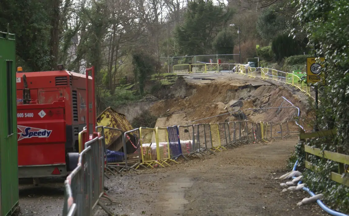
Residents rebuild road
Several months after the road to the west of the land-locked area was closed by the landslide, frustrated residents rebuilt it over one weekend.
The cost of the new stretch of road rebuilt by the residents was around £2,500 – one 200th of the figure the council said it would cost.
Council closed it: Asbestos claims
A fortnight after the work was carried out, the council closed the road again, claiming it contained asbestos, but at the time, despite chasing, wouldn’t tell News OnTheWight what type or how much.
Access to independent analysis of the material used by the residents revealed there was no more asbestos in the materials used to rebuild the road than would be found in most footpaths around the Island.
A new road was finally rebuilt by Island Roads slightly further inland (after a land swap with Hampshire and IW Wildlife Trust) and reopened in February 2017, with residents able to move back into their homes – most of which required a period of ventilation and redecoration after standing closed for several years.
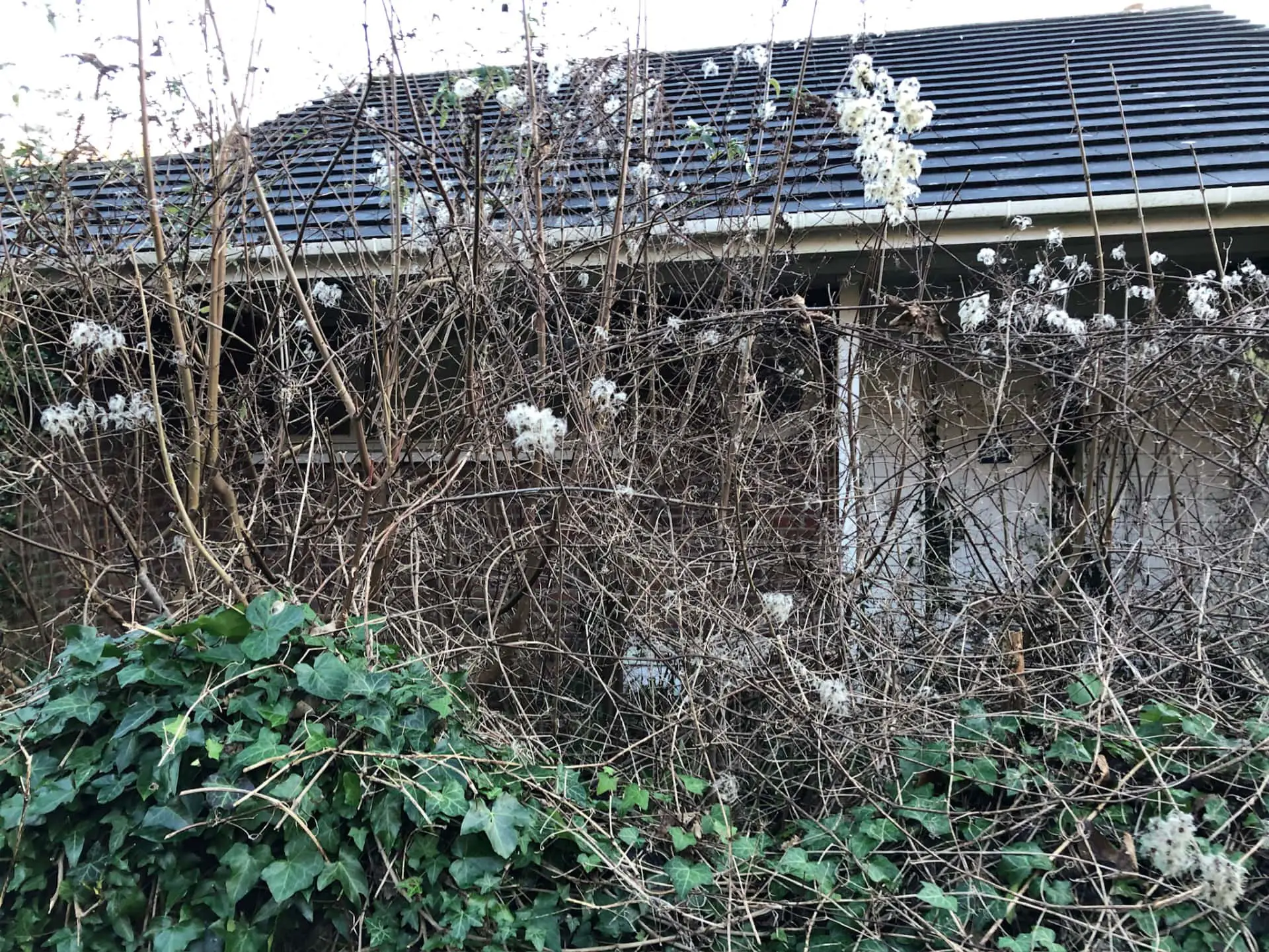
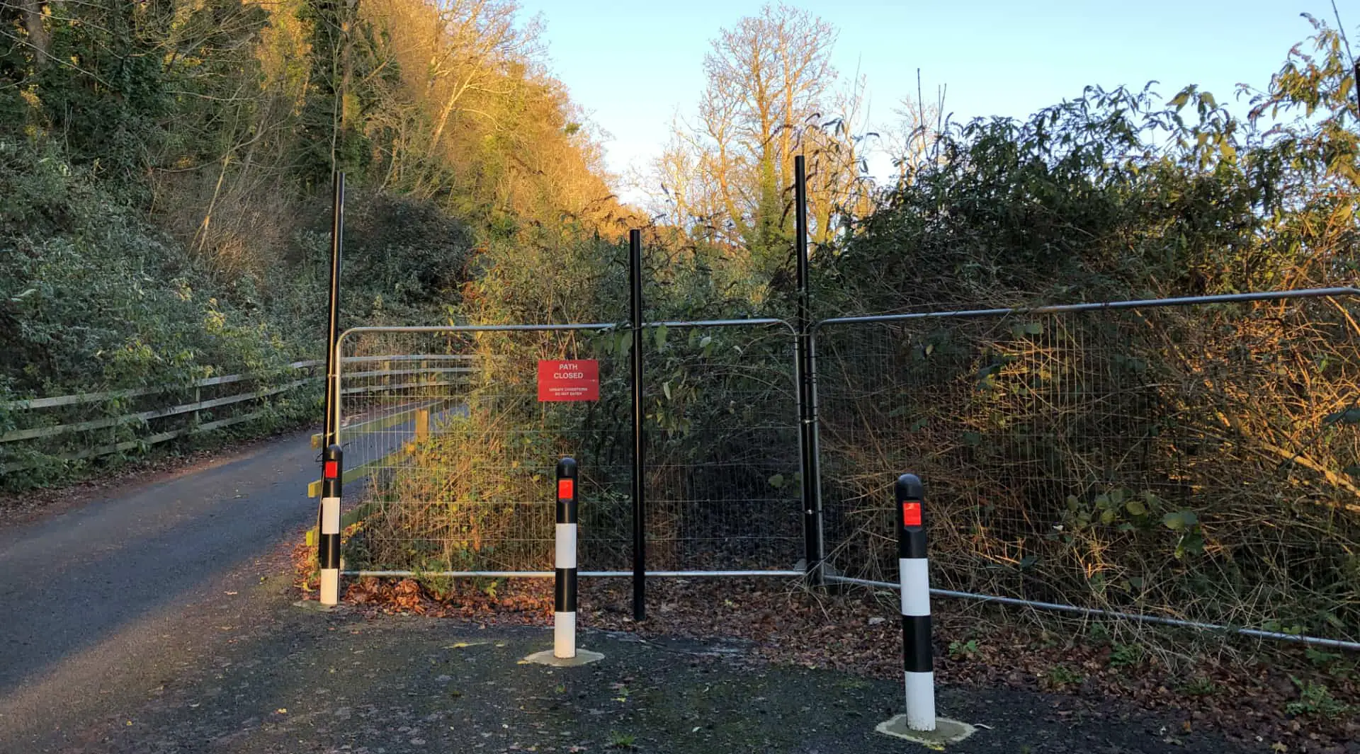
The road that residents had built was being used for some years as a footpath, but this was closed by the council, once again claiming asbestos risks. It is now totally overgrown an unusable.
Damning report from the LGO
It was three years from the landslide first happening before a damning report by the Local Government Ombudsman (LGO) found that the Isle of Wight council’s actions and delays following the landslide, “caused significant disruption to lives, financial loss, and stress”.
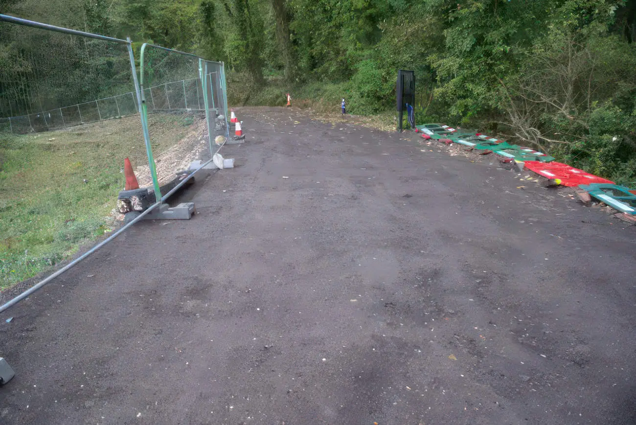
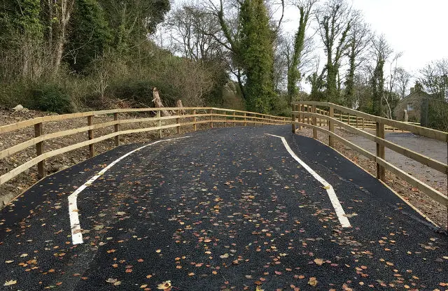
The road remains closed to through traffic – but there is a footpath and leisure cycle route which is glorious to use.
Land movement is still be monitored in the area by Isle of Wight council.
Find out more
Read more about Undercliff Drive in News OnTheWight’s archive of more than 145 articles.
The Isle of Wight council also have a bunch of historic technical reports relating to the greater Undercliff landslide on their website.