Environet, who are specialists in Japanese Knotweed and other invasive plants, have launched the Japanese Knotweed Heatmap to assist homeowners and buyers across the UK.
The interactive online heatmap reveals sighting of Japanese knotweed and the Isle of Wight – like much of the UK – has a number of sightings.
Isle of Wight sightings
According to the Heatmap Shanklin appears to have the highest density of sightings, but others have been discovered in Freshwater, Newport, Cowes, Wootton, Ventnor, Ryde, Bonchurch, Bembridge and Sandown.
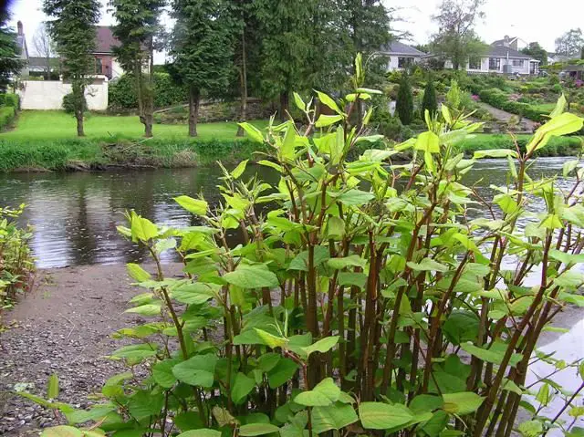
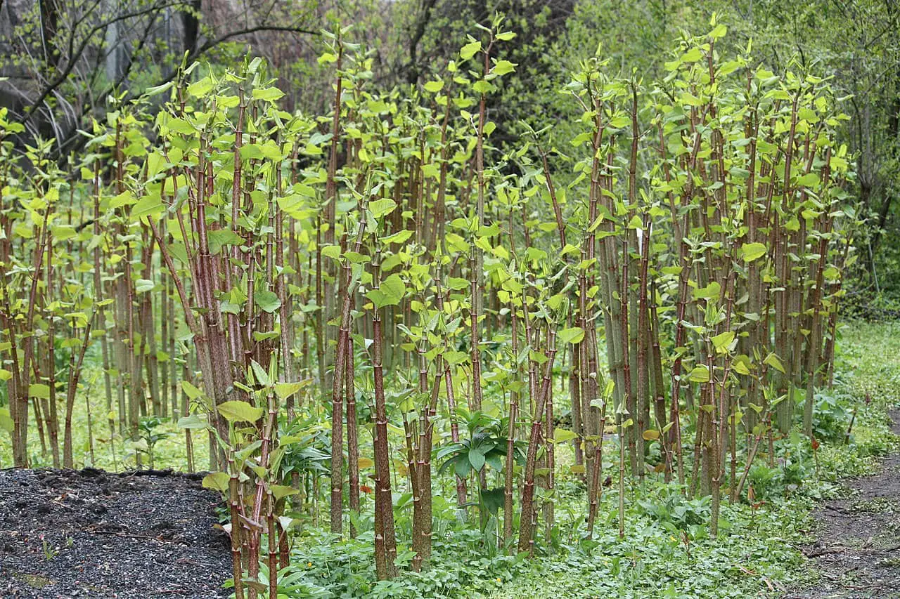
What is Japanese knotweed?
The Royal Horticultural Society explains,
“Japanese knotweed (Fallopia japonica) is a weed that spreads rapidly. In winter the plant dies back to ground level but by early summer the bamboo-like stems emerge from rhizomes deep underground to shoot to over 2.1m (7ft), suppressing all other plant growth.
“Eradication requires determination as it is very hard to remove by hand or eradicate with chemicals. New legislation now covers its control”
Find out more
The Japanese Knotweed Heatmap also allows you to add new sightings, as well as search for the presence of knotweed.
To find out more, head over to the Environet Website to pop your postcode in and see whether Japanese Knotweed is near your property.
Image: Anneli Salo under CC BY 2.0

