The Isle of Wight is on the edge of a weather warning for snow and ice this weekend. If you are planning any travel on the mainland, take note.
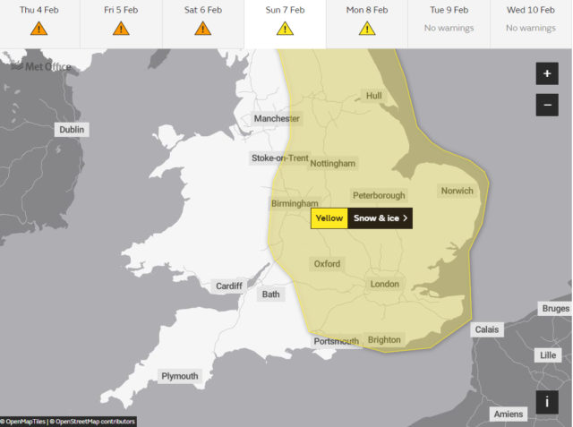
Valid from midday to midnight on Sunday the weather warning for snow and ice reads:
Cold air, along with snow showers to low levels pushing inland from the North Sea, is expected to spread south during the weekend. Not all locations will see snow, with the showers likely to miss some places altogether.
In addition to the showers, there is a chance that an extended period of more persistent snowfall could impact parts of the Midlands and southeast England overnight Saturday and through Sunday. This is all likely to bring areas of accumulating snow through the period with some icy stretches developing, with some parts seeing 5-10 cm, possibly 15 cm of snow.
Although disruption from this event could occur anywhere within this region, the Midlands and south-east England is the area most likely to see disruptive snow accumulating more widely, from later Saturday until the middle of Sunday.
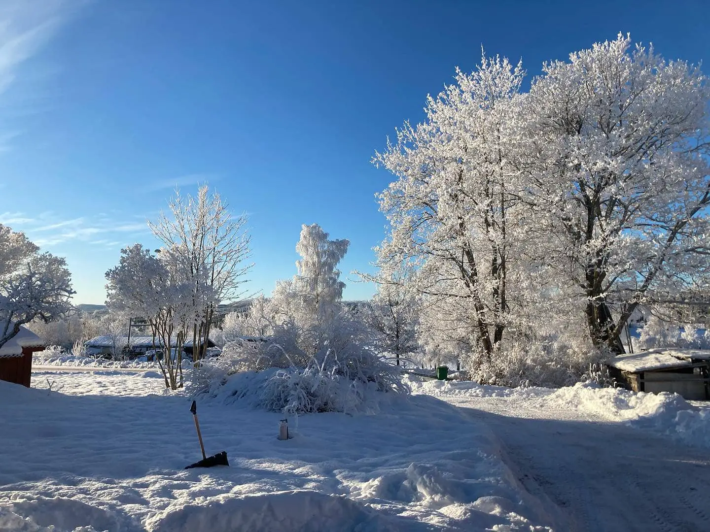
Snow scene
Our thanks to Islander Jason Carter, who now lives in Sweden for the use of his photo (taken in Siljansnäs). We thought it was so beautiful and wanted to share it with readers. We can’t remember the last time we so that much snow.
See the Met Office Website to follow the updates to the weather warning.
Image: © Jason Carter