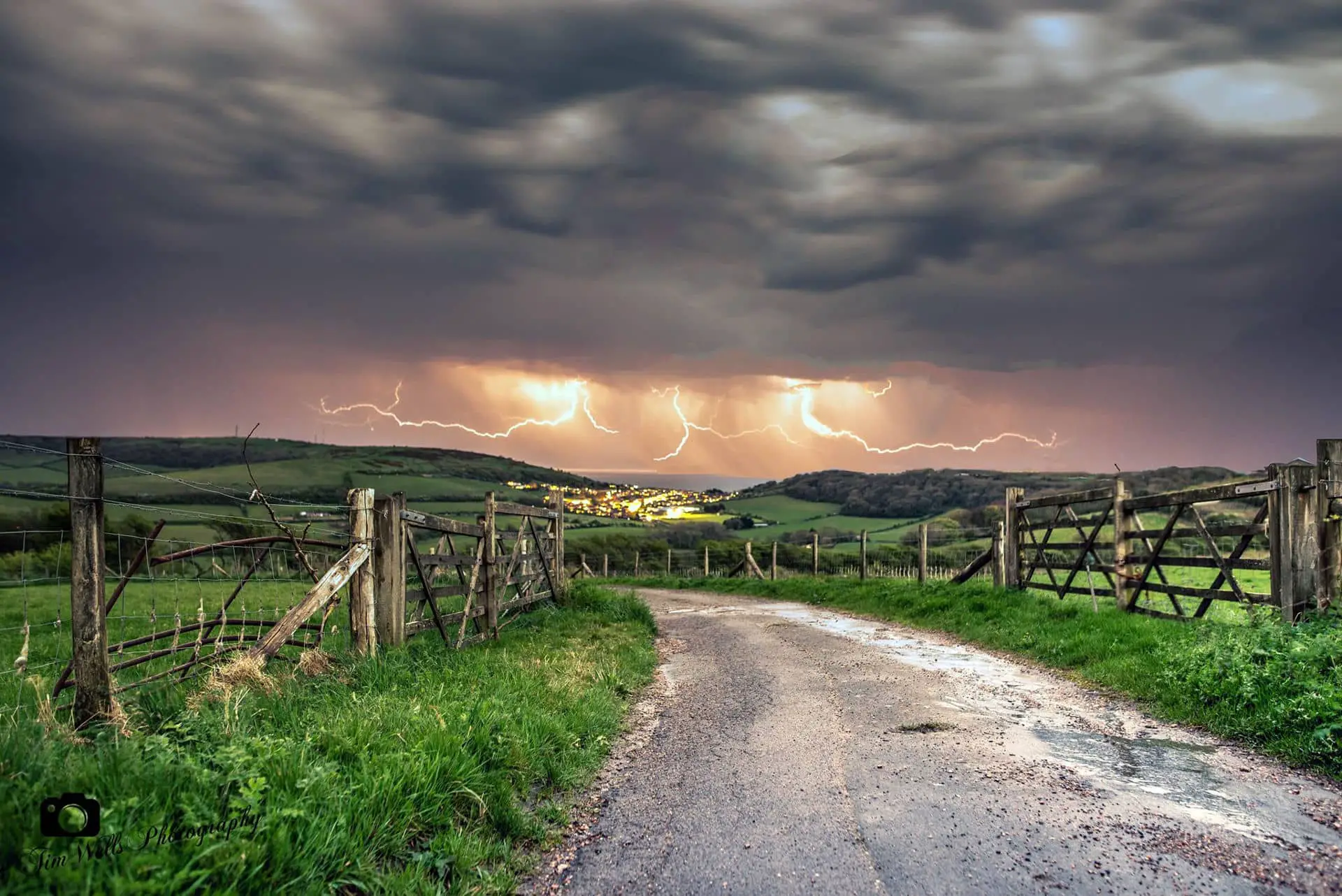
Parts of the Isle of Wight will be subject to thunderstorms on Monday, say the Met Office.
Valid from 6am to midnight the warning reads:
Whilst some places will avoid them, thunderstorms are likely to develop increasingly widely as we go through Monday.
Storms will probably already be underway for Northern Ireland and parts of Scotland by early Monday, before also developing across parts of England and Wales by late morning and into the afternoon. Storms should begin to ease from the west later.
Very locally 20-30 mm of rain is possible in an hour, and up to around 50 mm in three to six hours. Hail and frequent lightning are also possible.

What to expect
- There is a small chance that homes and businesses could be flooded quickly, with damage to some buildings from floodwater, lightning strikes, hail or strong winds
- Where flooding or lightning strikes occur, there is a chance of delays and some cancellations to train and bus services
- Spray and sudden flooding could lead to difficult driving conditions and some road closures
- There is a slight chance that power cuts could occur and other services to some homes and businesses could be lost
To stay up to date with the weather warning, see the Met Office Website.
Image: © Tim Wells Light at Night Photography