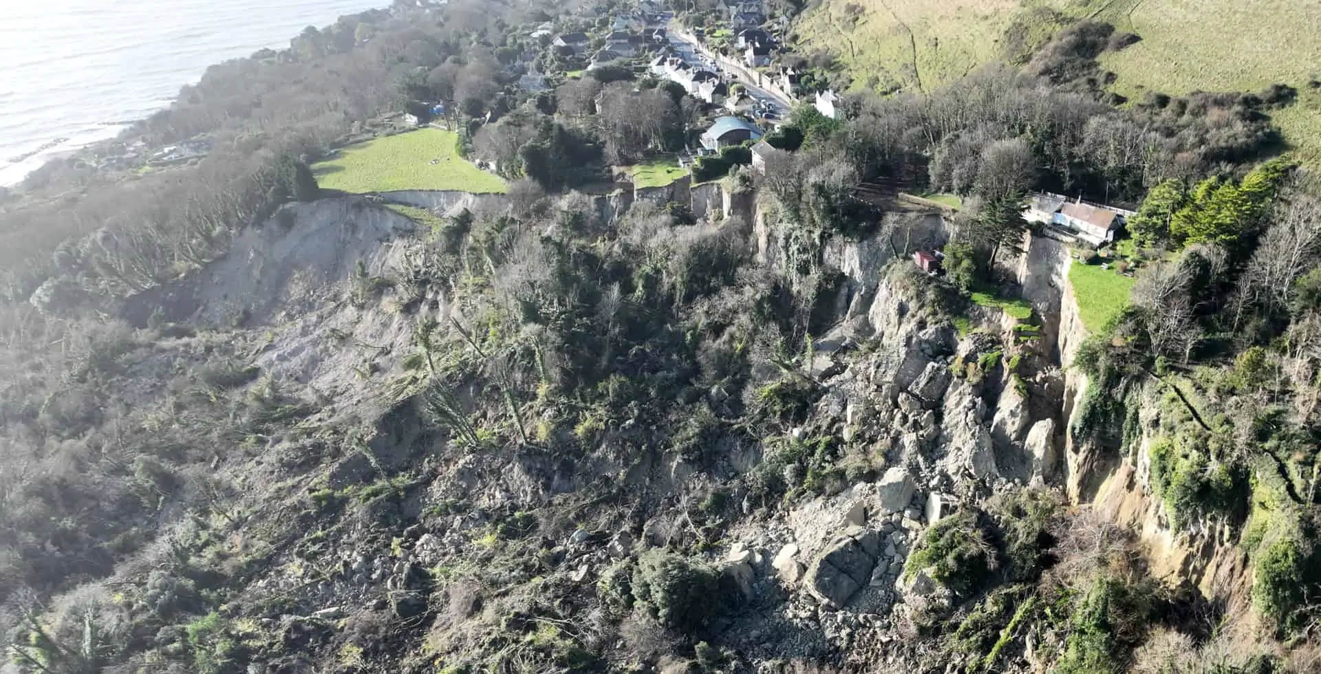
At an Isle of Wight council (IWC) media briefing this afternoon, the Service Director for Waste Environment and Planning said the landslide that is taking place in Eastern Bonchurch is the largest she’s seen in more than 20 years.
Natasha Dix explained that the areas sits on the largest urban landslide complex in Northern Europe and that the levels of rainfall we have seen in the last few months are the greatest since recording began in the 1940s.
The Bonchurch landslide is a result of heavy rainfall in the summer, and given the heavy rainfall in October and November, Natasha warned that more landslides could take place over the coming months.
Stay away from landslide
Colin Rowlands, Director of Neighbourhoods at IWC reiterated that the situation is very dangerous and that the main message to Islanders is to stay away from the site.
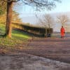
All footpaths through the Landslip have been closed.
No risk to human life
The extent of the landslide could be seen this morning. Huge areas have slipped and the area is still moving. However, Natasha was able to confirm that at the moment there is no risk to human life.
Coastal engineers and surveyors have been visiting properties along Leeson Road today (Monday) but have not found any damage to properties (apart from the car park and toilet block at Smugglers Haven Tea Rooms).
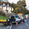
Only one road in and out?
In a separate incident at the Graben (where Ocean View Road meets Newport Road), Natasha said access between lower and Upper Ventnor will close later this afternoon.
A new dip in the road has been reported (Southern Water report a damaged sewer) and although this is an ongoing issue, it will be closed and then assessed by Island Roads. The road will then remain closed until it’s deemed safe to reopen.
That will leave just Whitwell Road as the only access to and from Ventnor.
Support for residents
As reported earlier today, the council have set up an emergency line (01983 823 111) and residents are being looked after, as well as being provided mental health support during this very worrying period.
Residents who have been evacuated are being allowed to access their homes in daylight hours between 10am and 4pm to collect any belongings they might need. They are asked to check in with an official when they do so, in order for the authorities to be aware of how many people are in the area.
Road closure
Natasha explained that no cracks or damage to Leeson Road – the only route of out of Ventnor heading towards Shanklin – had been recorded so far.
Monitoring equipment is being used, but the road will remain closed until the council are certain that the landslide has stopped moving.
Largest landslide since 1994
The last significant landslide in Bonchurch was in 1994.
Natasha who was living in Bonchurch at the time, said that this current landslide is much bigger than the ’94 landslide, as well as the Undercliff Drive landslide, and she was very surprised to see the extent of it.
She said,
“Our hearts are with everyone affected right now and we will be working with all those individuals to ensure that we can do the best things for them.”
Extent of landslide
News OnTheWight asked about the risk of Nansen Hill or St Boniface Downs slipping, but were told that they were “reasonably secure at this time”.
When News OnTheWight asked what the risk of the landslide stretching east or west was, Natasha explained,
“We know that there are stress fractures throughout the landslide and we’re going to be monitoring those and keeping an eye to see if it looks like there’s going to be further large movement in the eastern direction and the western direction.”
Ground investigation works on the Ventnor sea defences project from Monks Bay to Steephill Cove has been postponed for a week to ensure it does not interfere with the landslide.